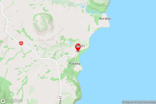
Omori Suburbs & Region, Omori Map & Postcodes in Omori, Taupo, Central North Island
Omori Postcodes, Omori ZipCodes, Omori , Omori Central North Island, Omori Suburbs, Omori Region, Omori Map, Omori Area
Omori Region
Omori Suburbs
Omori is a suburb place type in Taupo, Central North Island, NZ. It contains 0 suburbs or localities.Omori Region Map
Omori Introduction
Omori is a small town in the Central North Island of New Zealand, located in the Rangitikei District. It is known for its historic buildings and scenic surroundings, including the Omori River and the surrounding hills. The town has a population of around 1,000 people and is a popular destination for outdoor activities such as hiking, fishing, and hunting. The area was first settled by Māori in the 13th century and was later developed as a farming community. Today, Omori is a quiet and peaceful town with a strong sense of community. It is home to a variety of shops and services, including a supermarket, a pharmacy, and a hotel.Omori Region
Omori City
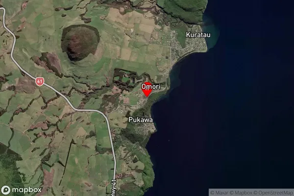
Omori Satellite Map
Full Address
Omori, Taupo, Central North IslandOmori Coordinates
-38.9078492,175.7538251 (Latitude / Longitude)Omori Map in NZ
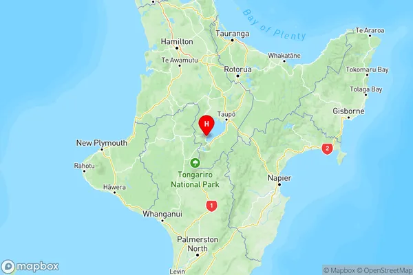
NZ Island
North IslandCountry
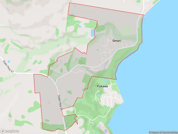
Omori Area Map (Polygon)
Name
OmoriAdditional Name
Local Authority
Taupo District
Omori Suburbs (Sort by Population)
Omori suburb has around
3.6 square
kilometers.There are more than 139 people (estimated)
live in Omori, Taupo, Waikato, New Zealand.