Taharua Area, Taharua Postcode & Map in Taharua
Taharua Area, Taharua Postcode & Map in Taharua, Taupo District,
Taharua, Taupo District,
Taharua Area (estimated)
373.4 square kilometersTaharua Population (estimated)
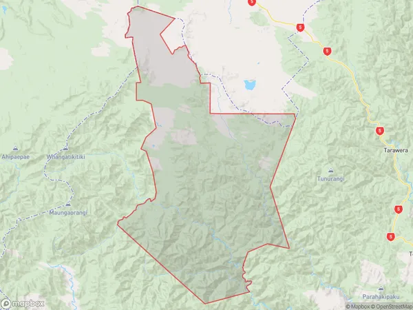
62 people live in Taharua, Waikato, NZTaharua Suburb Area Map (Polygon)
Taharua Introduction
Taharua is a small rural community in the Waikato region of New Zealand, known for its stunning natural scenery, including the Taharua Mountain Range and the nearby Taharua Forest Park. The area is popular with outdoor enthusiasts and nature lovers, with numerous hiking, biking, and fishing trails. The community also has a primary school, a post office, and a small supermarket.Region
Major City
Suburb Name
TaharuaOther Name(s)
PoronuiTaharua Area Map (Street)
Local Authority
Taupo DistrictFull Address
Taharua, Taupo District,Address Type
Locality in Town TaupoTaharua Suburb Map (Satellite)
Country
Main Region in AU
WaikatoTaharua Region Map
Coordinates
0,0 (latitude/longitude)Distances
The distance from Taharua, Taupo, Taupo District to NZ Top 10 Cities