Mangakino Suburbs & Region, Mangakino Map & Postcodes in Mangakino, Taupo, Central North Island
Mangakino Postcodes, Mangakino ZipCodes, Mangakino , Mangakino Central North Island, Mangakino Suburbs, Mangakino Region, Mangakino Map, Mangakino Area
Mangakino Region (Maraetai Region)
Mangakino Suburbs
Mangakino is a suburb place type in Taupo, Central North Island, NZ. It contains 2 suburbs or localities.Mangakino Postcodes
Mangakino Introduction
Mangakino is a small town located on the banks of the Mangakino River in the Central North Island of New Zealand. It is known for its stunning natural scenery, including waterfalls, forests, and a picturesque lake. The town has a population of around 1,000 people and is a popular destination for outdoor activities such as hiking, fishing, and kayaking. It is also home to the Mangakino Forest Park, which is a conservation area covering over 1,000 hectares of native forest. The town is located approximately 120 kilometers north of Auckland and 10 kilometers south of Taumarunui.Mangakino Region
Mangakino City
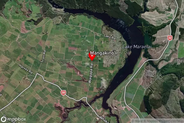
Mangakino Satellite Map

Full Address
Mangakino, Taupo, Central North IslandMangakino Coordinates
-38.3750149,175.7625779 (Latitude / Longitude)Mangakino Map in NZ

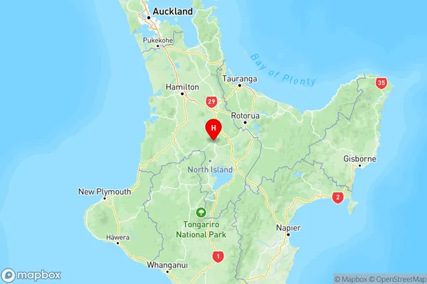
NZ Island
North IslandCountry
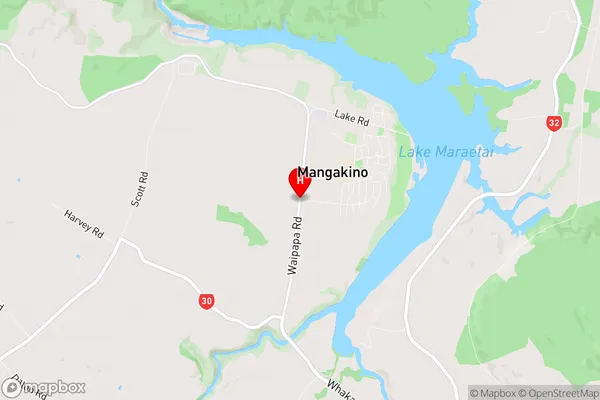
Mangakino Area Map (Polygon)
Not available for nowName
MangakinoAdditional Name
MaraetaiLocal Authority
Otorohanga District, Taupo District (Maori Name: Ōtorohanga District, Taupo District)
