Whakamaru Area, Whakamaru Postcode & Map in Whakamaru
Whakamaru Area, Whakamaru Postcode & Map in Whakamaru, Taupo District,
Whakamaru, Taupo District,
Whakamaru Area (estimated)
160.0 square kilometersWhakamaru Population (estimated)
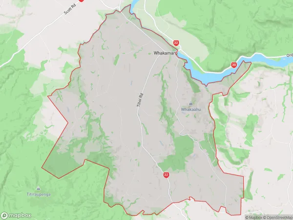
671 people live in Whakamaru, Waikato, NZWhakamaru Suburb Area Map (Polygon)
Whakamaru Introduction
Whakamaru is a small rural community located in the Waikato region of New Zealand. It is known for its stunning natural surroundings, including the Mangakino Forest and the Waikato River. The community has a strong Maori heritage and is home to a number of historic buildings and landmarks. Whakamaru is a popular destination for outdoor enthusiasts, with many walking and hiking tracks and a range of recreational activities available in the surrounding area.Region
Major City
Suburb Name
WhakamaruOther Name(s)
AratakiWhakamaru Area Map (Street)
Local Authority
Taupo DistrictFull Address
Whakamaru, Taupo District,Address Type
Locality in Town MangakinoWhakamaru Suburb Map (Satellite)
Country
Main Region in AU
WaikatoWhakamaru Region Map
Coordinates
0,0 (latitude/longitude)Distances
The distance from Whakamaru, Mangakino, Taupo District to NZ Top 10 Cities