Mangakino Suburbs & Region, Mangakino Map & Postcodes in Mangakino, Waikato
Mangakino Postcodes, Mangakino ZipCodes, Mangakino , Mangakino Waikato, Mangakino Suburbs, Mangakino Region, Mangakino Map, Mangakino Area
Mangakino Region (Maraetai Region)
Mangakino Suburbs
Mangakino is a city place type in Waikato, NZ. It contains 2 suburbs or localities.Mangakino Postcodes
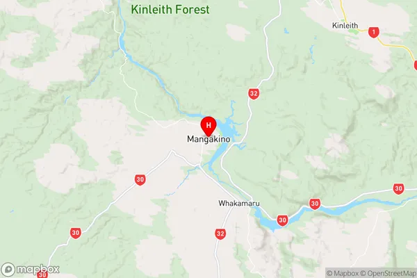
Mangakino Region Map
Mangakino Introduction
Mangakino is a small town in the Waikato region of New Zealand. It is located on State Highway 1, about 35 km south of Hamilton. The town has a population of around 1,000 people and is known for its scenic surroundings, including the Mangakino Forest and the Mangakino Waterfall. The town also has a golf course, a community hall, and a small supermarket. Mangakino is a popular destination for outdoor activities such as hiking, cycling, and fishing, and is surrounded by a number of natural attractions, including the Waikato River and the Ruakuri Forest Park.Mangakino Region
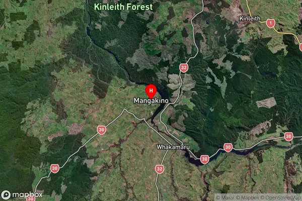
Mangakino Satellite Map
Full Address
Mangakino, WaikatoMangakino Coordinates
-38.371262,175.768149 (Latitude / Longitude)Mangakino Map in NZ
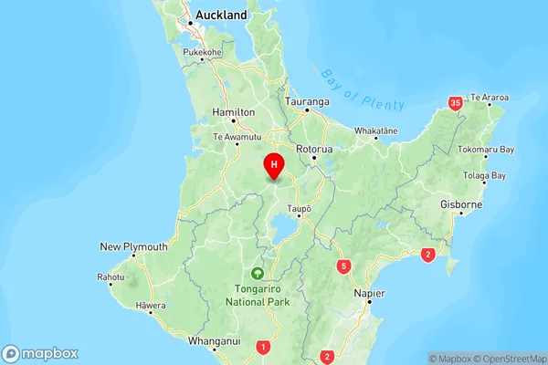
NZ Island
North IslandCountry
Mangakino Area Map (Polygon)
Not available for nowName
MangakinoAdditional Name
MaraetaiLocal Authority
Otorohanga District, Taupo District (Maori Name: Ōtorohanga District, Taupo District)