Tauhara Suburbs & Region, Tauhara Map & Postcodes in Tauhara, Taupo, Central North Island
Tauhara Postcodes, Tauhara ZipCodes, Tauhara , Tauhara Waikato, Tauhara Suburbs, Tauhara Region, Tauhara Map, Tauhara Area
Tauhara Region
Tauhara Suburbs
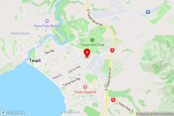
Tauhara is a suburb place type in Taupo, Central North Island, NZ. It contains 0 suburbs or localities.Tauhara Region Map
Tauhara Introduction
Tauhara is a small town in Waikato, New Zealand, located on the banks of the Tauhara River. It is known for its hot springs, which are a popular destination for tourists and locals alike. The town has a population of around 1,000 people and is surrounded by stunning natural scenery, including mountains, forests, and farmland. Tauhara also has a rich history, with many historic buildings and sites, including a former coal mining town and a historic church. The town is a popular stopover for tourists traveling between Hamilton and Taupo, and there are several accommodation options, including hotels, motels, and holiday homes.Tauhara Region
Tauhara City
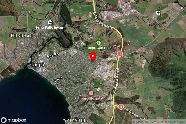
Tauhara Satellite Map
Full Address
Tauhara, Taupo, Central North IslandTauhara Coordinates
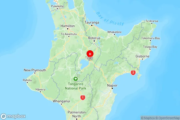
-38.685505,176.100285 (Latitude / Longitude)Tauhara Map in NZ
NZ Island
North IslandCountry
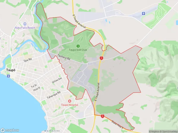
Tauhara Area Map (Polygon)
Name
TauharaAdditional Name
Local Authority
Taupo District
Tauhara Suburbs (Sort by Population)
Tauhara suburb has around
13.1 square
kilometers.There are more than 2173 people (estimated)
live in Tauhara, Taupo, Waikato, New Zealand.