Nukuhau Suburbs & Region, Nukuhau Map & Postcodes in Nukuhau, Taupo, Central North Island
Nukuhau Postcodes, Nukuhau ZipCodes, Nukuhau , Nukuhau Waikato, Nukuhau Suburbs, Nukuhau Region, Nukuhau Map, Nukuhau Area
Nukuhau Region (River Glen, Vaucluse Region)
Nukuhau Suburbs
Nukuhau is a suburb place type in Taupo, Central North Island, NZ. It contains 0 suburbs or localities.Nukuhau Postcodes
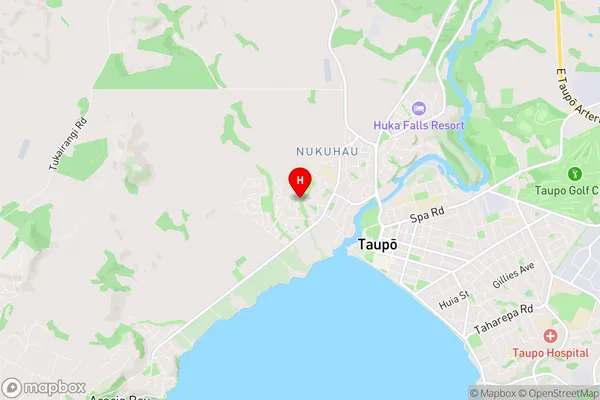
Nukuhau Region Map
Nukuhau Introduction
Nukuhau is a small rural community in the Waikato region of New Zealand. It is located on State Highway 1, approximately 30 kilometers south of Hamilton. The community has a population of around 100 people and is known for its scenic rural setting and peaceful atmosphere. Nukuhau has a primary school, a post office, and a small community hall. The area is popular with outdoor enthusiasts, with many walking and cycling tracks nearby. The nearby Nukuhau Forest Park is a popular destination for picnics and nature walks.Nukuhau Region
Nukuhau City
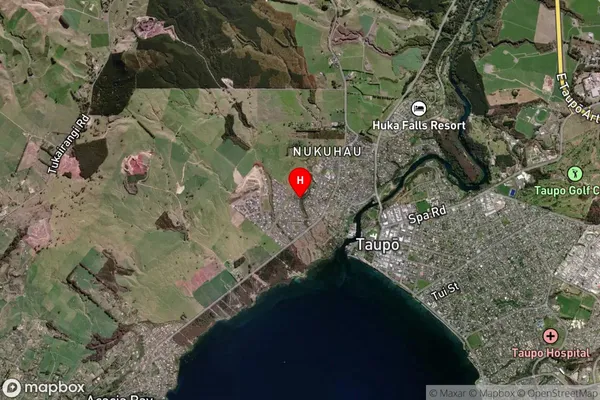
Nukuhau Satellite Map
Full Address
Nukuhau, Taupo, Central North IslandNukuhau Coordinates
-38.680669,176.056197 (Latitude / Longitude)Nukuhau Map in NZ
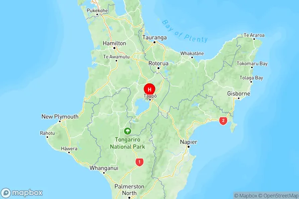
NZ Island
North IslandCountry
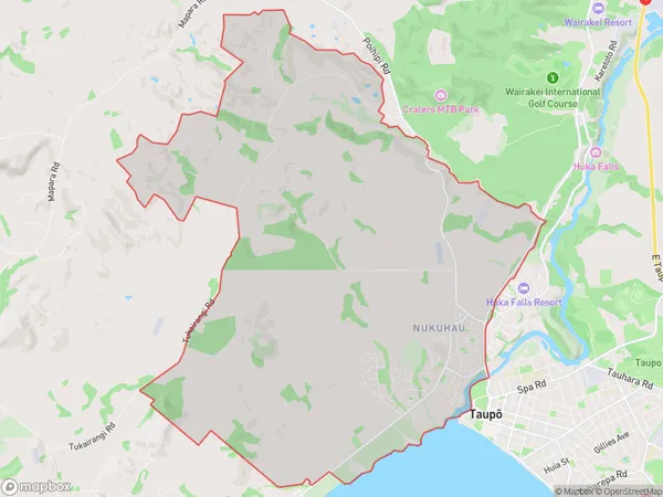
Nukuhau Area Map (Polygon)
Name
NukuhauAdditional Name
River Glen, VaucluseLocal Authority
Taupo District
Nukuhau Suburbs (Sort by Population)
Nukuhau also known as River Glen, Vaucluse. Nukuhau suburb has around
35.6 square
kilometers.There are more than 3988 people (estimated)
live in Nukuhau, Taupo, Waikato, New Zealand.