Nukuhau Area, Nukuhau Postcode(3351) & Map in Nukuhau
Nukuhau Area, Nukuhau Postcode(3351) & Map in Nukuhau, Taupo District, New Zealand
Nukuhau, Taupo District, New Zealand
Nukuhau Area (estimated)
35.6 square kilometersNukuhau Population (estimated)
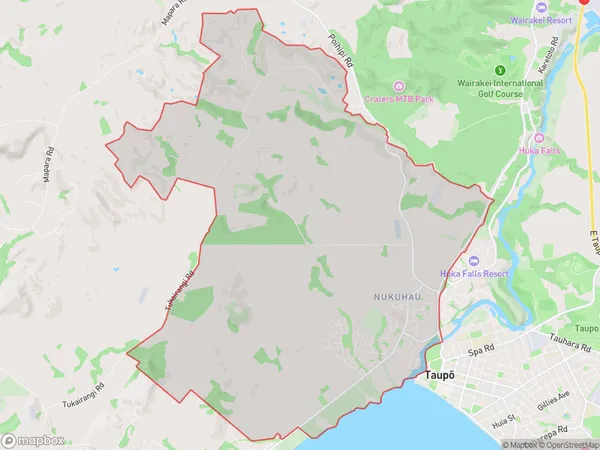
3988 people live in Nukuhau, Waikato, NZNukuhau Suburb Area Map (Polygon)
Nukuhau Introduction
Nukuhau is a small rural community on the banks of the Waikato River, located in the Taupo District of Waikato, New Zealand. It is known for its stunning natural scenery, including the Nukuhau Forest Park, and for its traditional Maori culture. The community has a population of around 100 people and is home to a primary school, a church, and a few small businesses.Region
Major City
Suburb Name
NukuhauOther Name(s)
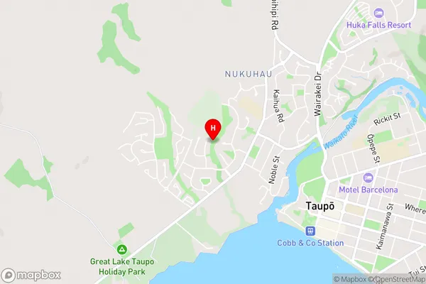
River Glen, VaucluseNukuhau Area Map (Street)
Local Authority
Taupo DistrictFull Address
Nukuhau, Taupo District, New ZealandAddress Type
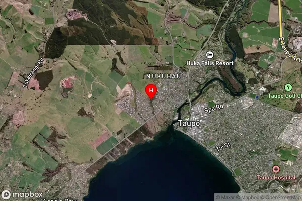
Suburb in Town TaupoNukuhau Suburb Map (Satellite)
Country
Main Region in AU
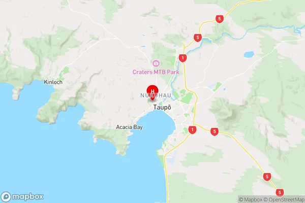
WaikatoNukuhau Region Map
Coordinates
-38.6805913,176.0565538 (latitude/longitude)Distances
The distance from Nukuhau, Taupo, Taupo District to NZ Top 10 Cities