Wairakei and Surrounds Suburbs & Region, Wairakei and Surrounds Map & Postcodes in Wairakei and Surrounds, Taupo, Central North Island
Wairakei and Surrounds Postcodes, Wairakei and Surrounds ZipCodes, Wairakei and Surrounds , Wairakei and Surrounds Central North Island, Wairakei and Surrounds Suburbs, Wairakei and Surrounds Region, Wairakei and Surrounds Map, Wairakei and Surrounds Area
Wairakei and Surrounds Region
Wairakei and Surrounds Suburbs
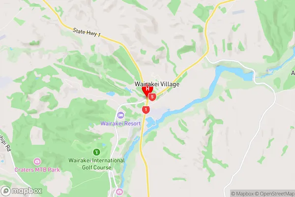
Wairakei and Surrounds is a suburb place type in Taupo, Central North Island, NZ. It contains 0 suburbs or localities.Wairakei and Surrounds Region Map
Wairakei and Surrounds Introduction
Wairakei and Surrounds, Central North Island, NZ, is a geothermal area with hot springs, geysers, and mud pools. It is located on the Taupo Volcanic Arc and has a rich history of Maori culture. Visitors can explore the area's natural beauty, including the Wairakei Power Station, which is the largest geothermal power station in New Zealand. The area also offers a range of outdoor activities, such as hiking, cycling, and fishing.Wairakei and Surrounds Region
Wairakei and Surrounds City
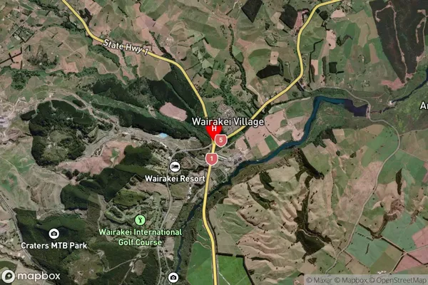
Wairakei and Surrounds Satellite Map
Full Address
Wairakei and Surrounds, Taupo, Central North IslandWairakei and Surrounds Coordinates
-38.6233349,176.099705 (Latitude / Longitude)Wairakei and Surrounds Map in NZ
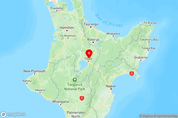
NZ Island
North IslandCountry