Maunganamu Suburbs & Region, Maunganamu Map & Postcodes in Maunganamu, Taupo, Central North Island
Maunganamu Postcodes, Maunganamu ZipCodes, Maunganamu , Maunganamu Waikato, Maunganamu Suburbs, Maunganamu Region, Maunganamu Map, Maunganamu Area
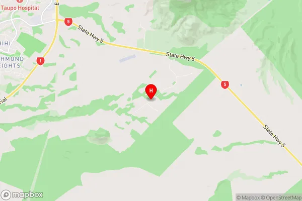
Maunganamu Region (Bonshaw Park Region)
Maunganamu Suburbs
Maunganamu is a suburb place type in Taupo, Central North Island, NZ. It contains 0 suburbs or localities.Maunganamu Region Map
Maunganamu Introduction
Maunganamu is a small town in the Waikato region of New Zealand, located on State Highway 1. It is situated between the towns of Huntly and Hamilton and is part of the Waikato District. The town has a population of around 1,000 people and is known for its scenic surroundings, including the Maunganamu Forest and the Maunganamu River. The town has a primary school, a post office, a supermarket, and a variety of recreational facilities, including a golf course and a bowling club. Maunganamu is also home to a number of historic buildings, including the Maunganamu Hotel and the Maunganamu Church.Maunganamu Region
Maunganamu City
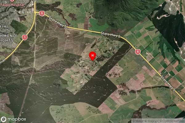
Maunganamu Satellite Map
Full Address
Maunganamu, Taupo, Central North IslandMaunganamu Coordinates
-38.725854,176.14396 (Latitude / Longitude)Maunganamu Map in NZ
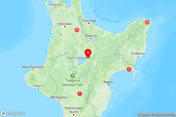
NZ Island
North IslandCountry
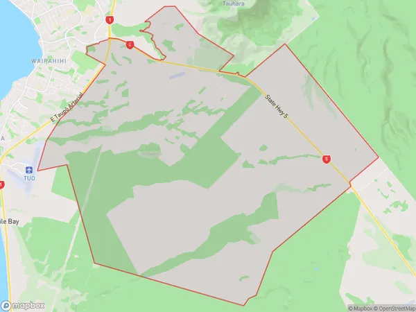
Maunganamu Area Map (Polygon)
Name
MaunganamuAdditional Name
Bonshaw ParkLocal Authority
Taupo District
Maunganamu Suburbs (Sort by Population)
Maunganamu also known as Bonshaw Park. Maunganamu suburb has around
67.3 square
kilometers.There are more than 251 people (estimated)
live in Maunganamu, Taupo, Waikato, New Zealand.