Maunganamu Area, Maunganamu Postcode & Map in Maunganamu
Maunganamu Area, Maunganamu Postcode & Map in Maunganamu, Taupo District,
Maunganamu, Taupo District,
Maunganamu Area (estimated)
67.3 square kilometersMaunganamu Population (estimated)
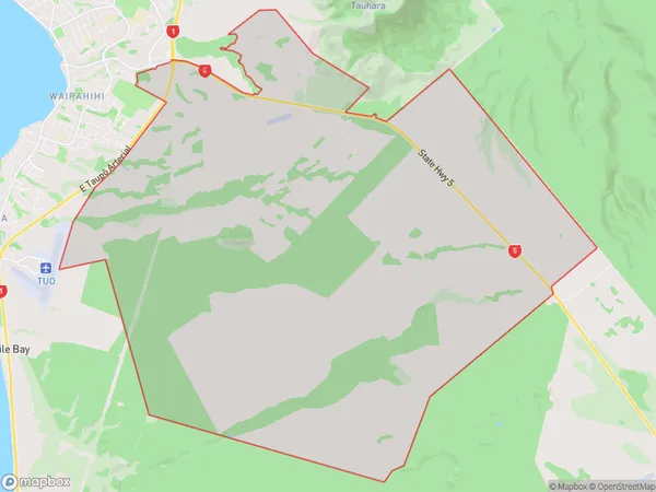
251 people live in Maunganamu, Waikato, NZMaunganamu Suburb Area Map (Polygon)
Maunganamu Introduction
Maunganamu is a small beachside community on the western shores of Lake Taupo in Waikato, New Zealand. It is known for its stunning natural beauty, including crystal-clear waters, rugged cliffs, and lush forests. The area is popular with outdoor enthusiasts, with opportunities for hiking, fishing, and kayaking. Maunganamu also has a historic stone church and a small museum that showcases the area's rich cultural heritage.Region
Major City
Suburb Name
MaunganamuOther Name(s)
Bonshaw ParkMaunganamu Area Map (Street)
Local Authority
Taupo DistrictFull Address
Maunganamu, Taupo District,Address Type
Suburb in Town TaupoMaunganamu Suburb Map (Satellite)
Country
Main Region in AU
WaikatoMaunganamu Region Map
Coordinates
0,0 (latitude/longitude)Distances
The distance from Maunganamu, Taupo, Taupo District to NZ Top 10 Cities