Rainbow Point Area, Rainbow Point Postcode(3378) & Map in Rainbow Point
Rainbow Point Area, Rainbow Point Postcode(3378) & Map in Rainbow Point, Taupo District, New Zealand
Rainbow Point, Taupo District, New Zealand
Rainbow Point Postcodes
Rainbow Point Area (estimated)
0.7 square kilometersRainbow Point Population (estimated)
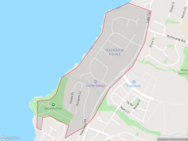
266 people live in Rainbow Point, Waikato, NZRainbow Point Suburb Area Map (Polygon)
Rainbow Point Introduction
Rainbow Point is a popular lookout point in Taupo, New Zealand, offering stunning views of Lake Taupo and the surrounding mountains. It is located at the end of a scenic road and is a popular spot for hiking, picnicking, and watching the sunrise and sunset. The point is named for the colorful rainbow that often appears in the sky above the lake at certain times of the day.Region
Major City
Suburb Name
Rainbow PointOther Name(s)
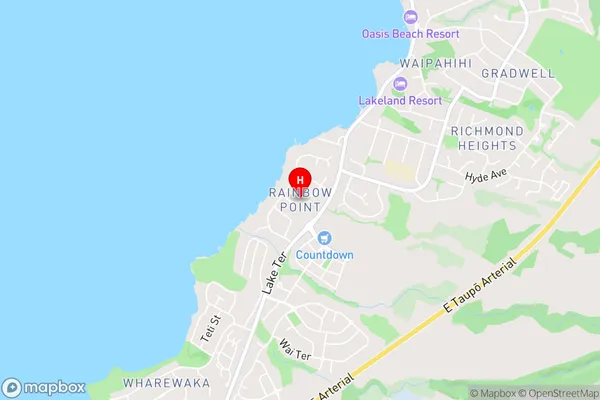
Rainbow PtRainbow Point Area Map (Street)
Local Authority
Taupo DistrictFull Address
Rainbow Point, Taupo District, New ZealandAddress Type
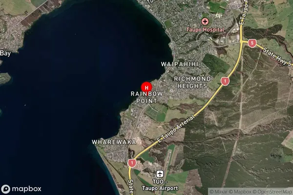
Suburb in Town TaupoRainbow Point Suburb Map (Satellite)
Country
Main Region in AU
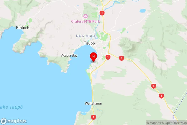
WaikatoRainbow Point Region Map
Coordinates
-38.7198093,176.0786351 (latitude/longitude)Distances
The distance from Rainbow Point, Taupo, Taupo District to NZ Top 10 Cities