Motuoapa Suburbs & Region, Motuoapa Map & Postcodes in Motuoapa, Taupo, Central North Island
Motuoapa Postcodes, Motuoapa ZipCodes, Motuoapa , Motuoapa Central North Island, Motuoapa Suburbs, Motuoapa Region, Motuoapa Map, Motuoapa Area
Motuoapa Region
Motuoapa Suburbs
Motuoapa is a suburb place type in Taupo, Central North Island, NZ. It contains 1 suburbs or localities.Motuoapa Postcodes
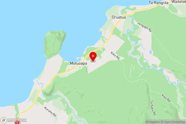
Motuoapa Region Map
Motuoapa Introduction
Motuoapa is a small township on the eastern coast of the Central North Island of New Zealand. It is situated on State Highway 1, approximately 120 km north of Palmerston North and 35 km south of Taumarunui. The town is known for its scenic location, with a beachfront and a range of recreational facilities. Motuoapa has a population of around 1,200 people and is a popular destination for tourists and holidaymakers. The town is surrounded by farmland and has a number of historic buildings, including the Motuoapa Hotel, which was built in 1878. The nearby Motuora Island is a popular tourist attraction, with its clear waters and sandy beaches.Motuoapa Region
Motuoapa City
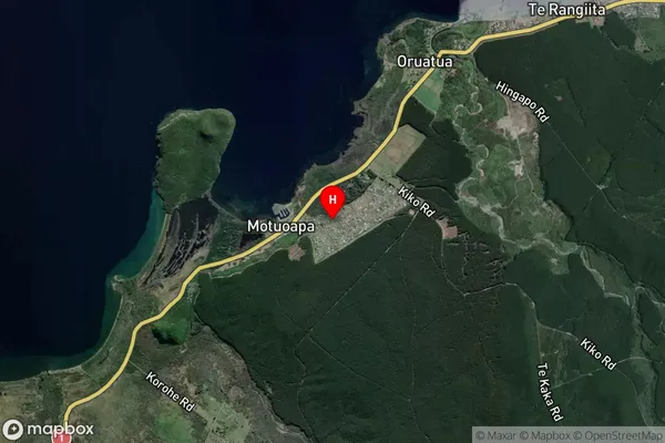
Motuoapa Satellite Map
Full Address
Motuoapa, Taupo, Central North IslandMotuoapa Coordinates
-38.9323147,175.8815201 (Latitude / Longitude)Motuoapa Map in NZ
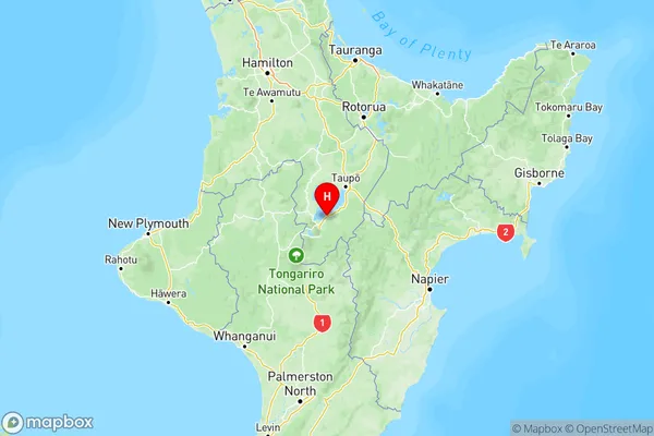
NZ Island
North IslandCountry
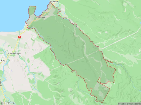
Motuoapa Area Map (Polygon)
Name
MotuoapaAdditional Name
Local Authority
Taupo District
Motuoapa Suburbs (Sort by Population)
Motuoapa
Motuoapa - 454