Motuoapa Area, Motuoapa Postcode(3330) & Map in Motuoapa
Motuoapa Area, Motuoapa Postcode(3330) & Map in Motuoapa, Taupo District, New Zealand
Motuoapa, Taupo District, New Zealand
Motuoapa Postcodes
Motuoapa Area (estimated)
82.3 square kilometersMotuoapa Population (estimated)
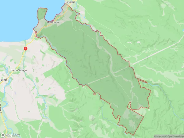
454 people live in Motuoapa, Waikato, NZMotuoapa Suburb Area Map (Polygon)
Motuoapa Introduction
Motuoapa is a small town on the banks of the Waikato River in Waikato, New Zealand. It is known for its beautiful gardens, historic buildings, and friendly community. The town has a population of around 3,000 people and is located about 45 minutes south of Hamilton. Motuoapa is a popular destination for tourists and locals alike, with many activities and attractions to enjoy.Region
Major City
Suburb Name
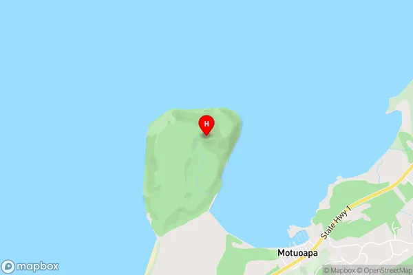
MotuoapaMotuoapa Area Map (Street)
Local Authority
Taupo DistrictFull Address
Motuoapa, Taupo District, New ZealandAddress Type
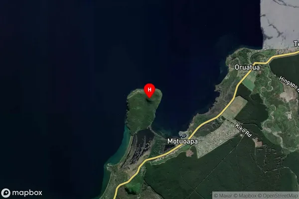
Locality in Major Locality MotuoapaMotuoapa Suburb Map (Satellite)
Country
Main Region in AU
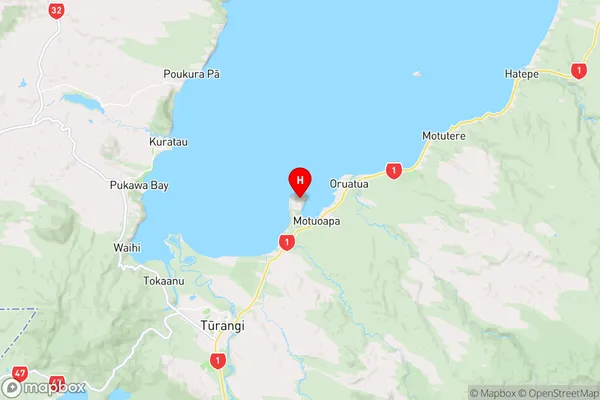
WaikatoMotuoapa Region Map
Coordinates
-38.921667,175.862139 (latitude/longitude)Distances
The distance from Motuoapa, Motuoapa, Taupo District to NZ Top 10 Cities