Te Rangiita Suburbs & Region, Te Rangiita Map & Postcodes in Te Rangiita, Taupo, Central North Island
Te Rangiita Postcodes, Te Rangiita ZipCodes, Te Rangiita , Te Rangiita Central North Island, Te Rangiita Suburbs, Te Rangiita Region, Te Rangiita Map, Te Rangiita Area
Te Rangiita Region (Oruatua, Tauranga-taupo, Te Rangiita, Waitetoko Region)
Te Rangiita Suburbs
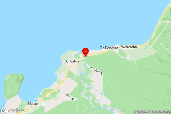
Te Rangiita is a suburb place type in Taupo, Central North Island, NZ. It contains 0 suburbs or localities.Te Rangiita Region Map

Te Rangiita Introduction
Te Rangiita is a mountain in the Central North Island of New Zealand. It is the second-highest mountain in the North Island, after Mount Tongariro. The mountain is part of the Tongariro National Park and is a popular destination for hiking and skiing. The mountain is named after the chief of the Ngati Porou iwi, Te Rangiita. The mountain has a summit elevation of 2,797 meters (9,177 feet) and is surrounded by a range of scenic landscapes, including lakes, valleys, and forests.Te Rangiita Region
Te Rangiita City
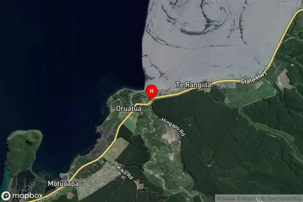
Te Rangiita Satellite Map

Full Address
Te Rangiita, Taupo, Central North IslandTe Rangiita Coordinates
-38.911022,175.903537 (Latitude / Longitude)Te Rangiita Map in NZ

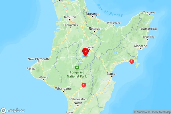
NZ Island
North IslandCountry
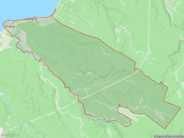
Te Rangiita Area Map (Polygon)

Name
Tauranga TaupoAdditional Name
Oruatua, Tauranga-taupo, Te Rangiita, WaitetokoLocal Authority
Taupo District
Te Rangiita Suburbs (Sort by Population)
Tauranga Taupo also known as Oruatua, Tauranga-taupo, Te Rangiita, Waitetoko. Tauranga Taupo suburb has around
90.1 square
kilometers.There are more than 170 people (estimated)
live in Tauranga Taupo, Taupo, Waikato, New Zealand.