Oruanui Suburbs & Region, Oruanui Map & Postcodes in Oruanui, Taupo, Central North Island
Oruanui Postcodes, Oruanui ZipCodes, Oruanui , Oruanui Waikato, Oruanui Suburbs, Oruanui Region, Oruanui Map, Oruanui Area
Oruanui Region (Te Pouwhakatutu Region)
Oruanui Suburbs
Oruanui is a suburb place type in Taupo, Central North Island, NZ. It contains 0 suburbs or localities.Oruanui Postcodes
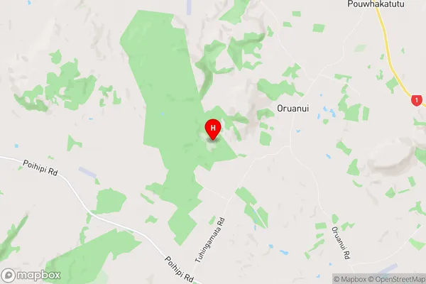
Oruanui Region Map
Oruanui Introduction
Oruanui is a small town in Waikato, New Zealand, located on State Highway 1. It is situated between Hamilton and Otorohanga and has a population of around 1,000 people. The town is known for its historic stone buildings, including the Oruanui Hotel, which was built in 1878. The town also has a popular golf course, a bowling club, and a community hall. Oruanui is surrounded by beautiful countryside, including the Waikato River and the Kaimai Range, and is a popular destination for outdoor activities such as hiking, cycling, and fishing.Oruanui Region
Oruanui City
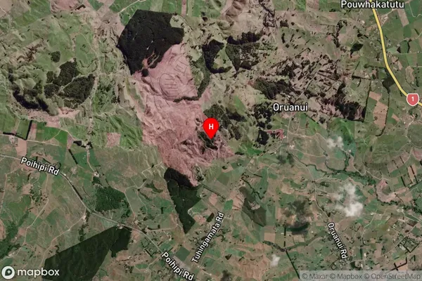
Oruanui Satellite Map
Full Address
Oruanui, Taupo, Central North IslandOruanui Coordinates
-38.583017,176.005658 (Latitude / Longitude)Oruanui Map in NZ
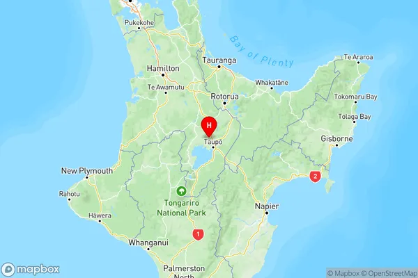
NZ Island
North IslandCountry
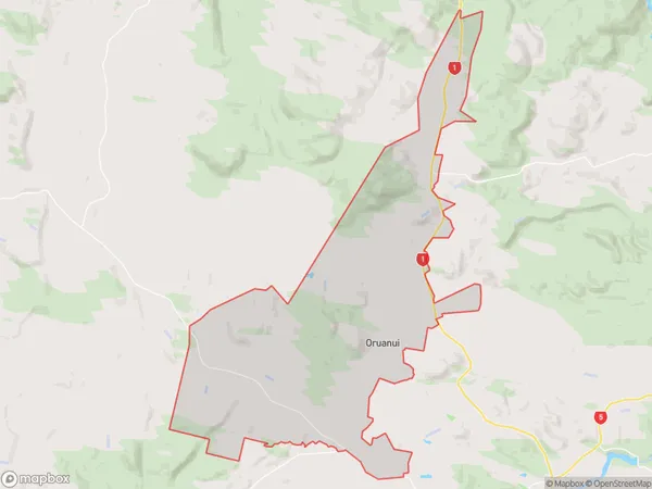
Oruanui Area Map (Polygon)
Name
OruanuiAdditional Name
Te PouwhakatutuLocal Authority
Taupo District
Oruanui Suburbs (Sort by Population)
Oruanui also known as Te Pouwhakatutu. Oruanui suburb has around
94.9 square
kilometers.There are more than 748 people (estimated)
live in Oruanui, Taupo, Waikato, New Zealand.