Waipunga Area, Waipunga Postcode & Map in Waipunga
Waipunga Area, Waipunga Postcode & Map in Waipunga, Taupo District,
Waipunga, Taupo District,
Waipunga Area (estimated)
313.3 square kilometersWaipunga Population (estimated)
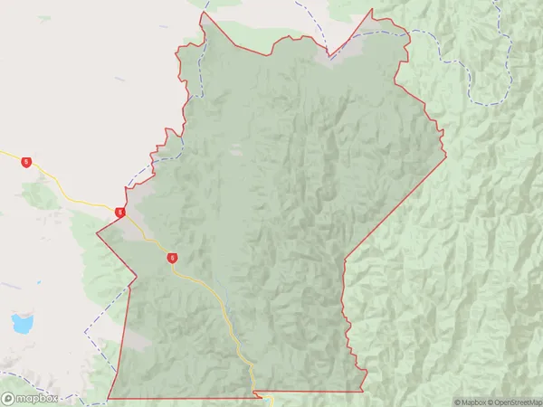
14 people live in Waipunga, Waikato, NZWaipunga Suburb Area Map (Polygon)
Waipunga Introduction
Waipunga is a small town on the banks of the Waikato River in the Waikato region of New Zealand. It is known for its historic stone buildings and scenic surroundings, and is a popular destination for tourists and outdoor enthusiasts. The town has a population of around 500 people and is located about 100 kilometers north of Hamilton.Region
Major City
Suburb Name
WaipungaOther Name(s)
Pohokura, PoronuiWaipunga Area Map (Street)
Local Authority
Taupo DistrictFull Address
Waipunga, Taupo District,Address Type
Locality in Town TaupoWaipunga Suburb Map (Satellite)
Country
Main Region in AU
WaikatoWaipunga Region Map
Coordinates
0,0 (latitude/longitude)Distances
The distance from Waipunga, Taupo, Taupo District to NZ Top 10 Cities