Iwitahi Suburbs & Region, Iwitahi Map & Postcodes in Iwitahi, Taupo, Central North Island
Iwitahi Postcodes, Iwitahi ZipCodes, Iwitahi , Iwitahi Central North Island, Iwitahi Suburbs, Iwitahi Region, Iwitahi Map, Iwitahi Area
Iwitahi Region (Poronui, Waimihia Region)
Iwitahi Suburbs
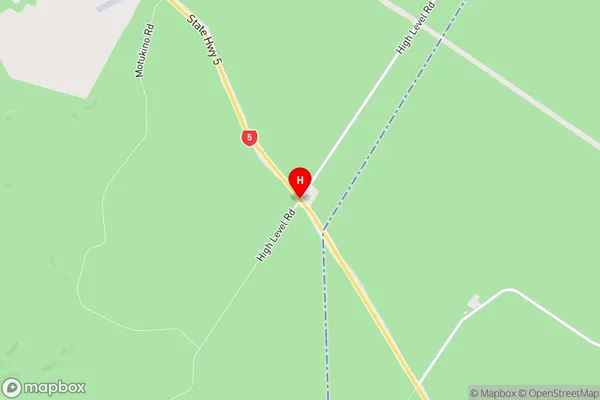
Iwitahi is a suburb place type in Taupo, Central North Island, NZ. It contains 0 suburbs or localities.Iwitahi Region Map
Iwitahi Introduction
Iwitahi is a small rural community located in the Central North Island of New Zealand. It is situated in the Waikato District, approximately 100 kilometers north of Hamilton, the regional capital. The town has a population of around 100 people and is known for its scenic surroundings, including the Iwitahi River and the surrounding farmland. The community is surrounded by lush green hills and has a peaceful and tranquil atmosphere. Iwitahi is a popular destination for outdoor enthusiasts, with numerous hiking and cycling trails in the area. The town also has a small primary school and a community hall, which hosts regular events and gatherings.Iwitahi Region
Iwitahi City
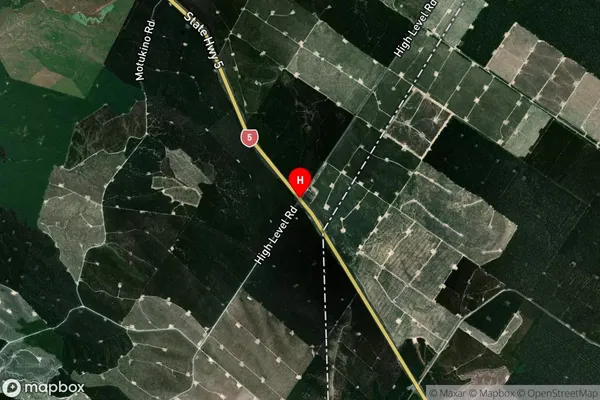
Iwitahi Satellite Map
Full Address
Iwitahi, Taupo, Central North IslandIwitahi Coordinates
-38.8040013,176.2511962 (Latitude / Longitude)Iwitahi Map in NZ
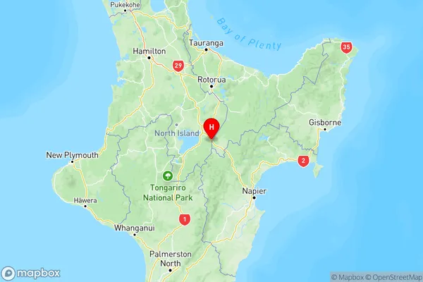
NZ Island
North IslandCountry
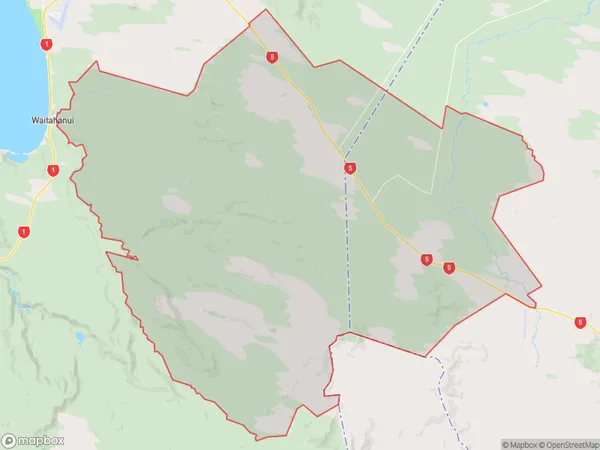
Iwitahi Area Map (Polygon)
Name
IwitahiAdditional Name
Poronui, WaimihiaLocal Authority
Taupo District
Iwitahi Suburbs (Sort by Population)
Iwitahi also known as Poronui, Waimihia. Iwitahi suburb has around
400.7 square
kilometers.There are more than 30 people (estimated)
live in Iwitahi, Taupo, Bay of Plenty, New Zealand.