Iwitahi Area, Iwitahi Postcode & Map in Iwitahi
Iwitahi Area, Iwitahi Postcode & Map in Iwitahi, Taupo District, New Zealand
Iwitahi, Taupo District, New Zealand
Iwitahi Area (estimated)
400.7 square kilometersIwitahi Population (estimated)
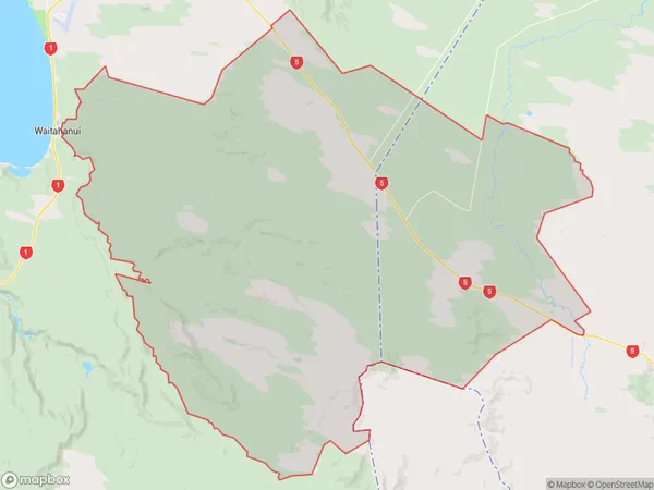
30 people live in Iwitahi, Bay of Plenty, NZIwitahi Suburb Area Map (Polygon)
Iwitahi Introduction
Iwitahi is a small rural community in the Bay of Plenty, New Zealand. It is situated on the banks of the Iwitahi River, approximately 20 kilometers south of Taupo. The area is known for its scenic beauty, with rolling hills, lush green fields, and picturesque waterways. Iwitahi has a population of around 100 people and is home to a primary school, a church, and a few small businesses. The community is a popular destination for outdoor enthusiasts, with numerous hiking and biking trails nearby.Region
Major City
Suburb Name
IwitahiOther Name(s)
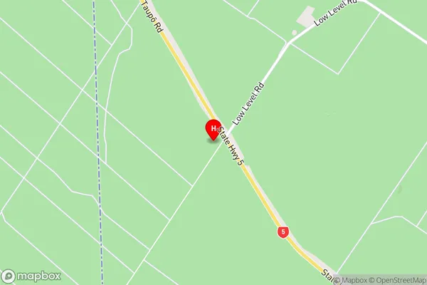
Poronui, WaimihiaIwitahi Area Map (Street)
Local Authority
Taupo DistrictFull Address
Iwitahi, Taupo District, New ZealandAddress Type
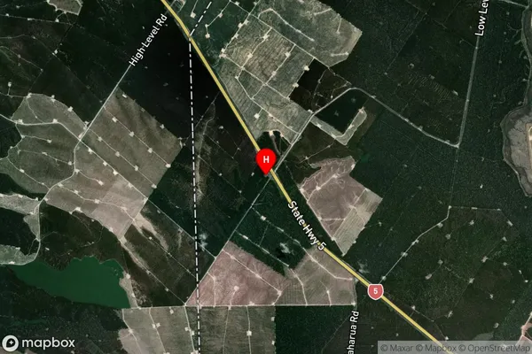
Locality in Town TaupoIwitahi Suburb Map (Satellite)
Country
Main Region in AU
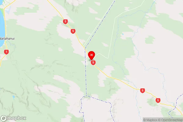
Bay of PlentyIwitahi Region Map
Coordinates
-38.8294076,176.2698926 (latitude/longitude)Distances
The distance from Iwitahi, Taupo, Taupo District to NZ Top 10 Cities