Rotokawa Area, Rotokawa Postcode & Map in Rotokawa
Rotokawa Area, Rotokawa Postcode & Map in Rotokawa, Taupo District,
Rotokawa, Taupo District,
Rotokawa Area (estimated)
73.3 square kilometersRotokawa Population (estimated)
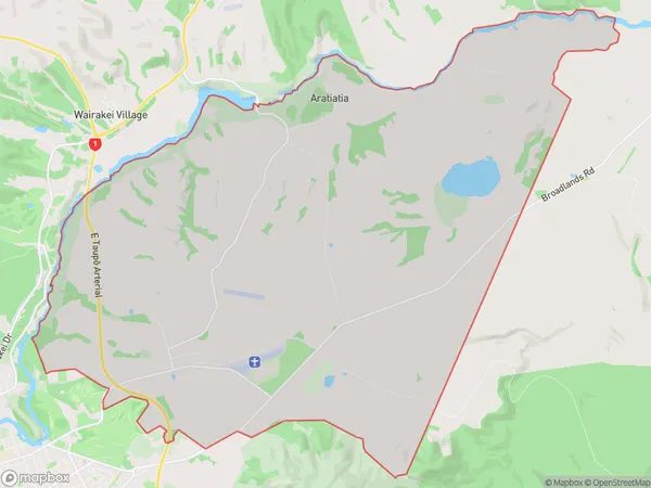
134 people live in Rotokawa, Waikato, NZRotokawa Suburb Area Map (Polygon)
Rotokawa Introduction
Rotokawa is a small rural town in Taupo, Waikato, New Zealand. It is known for its beautiful natural surroundings, including the Rotokawa Lake and the surrounding forest. The town has a population of around 2,000 people and is a popular destination for outdoor activities such as hiking, fishing, and kayaking. It is also home to a number of historic buildings, including the Rotokawa Museum and the St. John's Anglican Church.Region
Major City
Suburb Name
RotokawaOther Name(s)
AratiatiaRotokawa Area Map (Street)
Local Authority
Taupo DistrictFull Address
Rotokawa, Taupo District,Address Type
Locality in Town TaupoRotokawa Suburb Map (Satellite)
Country
Main Region in AU
WaikatoRotokawa Region Map
Coordinates
0,0 (latitude/longitude)Distances
The distance from Rotokawa, Taupo, Taupo District to NZ Top 10 Cities