Broadlands Forest Suburbs & Region, Broadlands Forest Map & Postcodes in Broadlands Forest, Taupo, Central North Island
Broadlands Forest Postcodes, Broadlands Forest ZipCodes, Broadlands Forest , Broadlands Forest Waikato, Broadlands Forest Suburbs, Broadlands Forest Region, Broadlands Forest Map, Broadlands Forest Area
Broadlands Forest Region (Broadlands Forest Region)
Broadlands Forest Suburbs
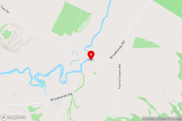
Broadlands Forest is a suburb place type in Taupo, Central North Island, NZ. It contains 0 suburbs or localities.Broadlands Forest Region Map

Broadlands Forest Introduction
Waikato's Broadlands Forest is a 150-hectare forest located 10 kilometers south of Hamilton. It is a popular destination for outdoor activities such as hiking, mountain biking, and horse riding. The forest has a variety of plant and animal species, including native birds, reptiles, and mammals. There are also several walking and cycling trails, a picnic area, and a playground. The forest is managed by the Waikato District Council and is open to the public year-round.Broadlands Forest Region
Broadlands Forest City
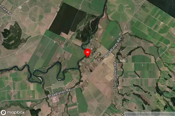
Broadlands Forest Satellite Map

Full Address
Broadlands Forest, Taupo, Central North IslandBroadlands Forest Coordinates
-38.596931,176.282588 (Latitude / Longitude)Broadlands Forest Map in NZ

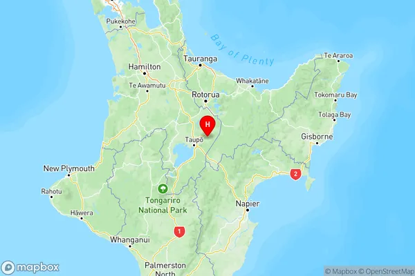
NZ Island
North IslandCountry
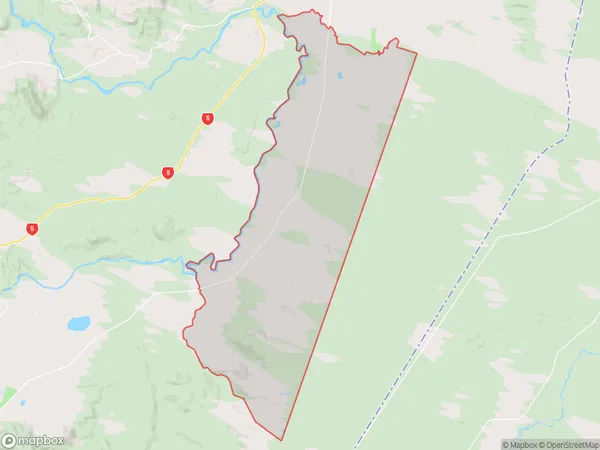
Broadlands Forest Area Map (Polygon)

Name
BroadlandsAdditional Name
Broadlands ForestLocal Authority
Rotorua District, Taupo District
Broadlands Forest Suburbs (Sort by Population)
Broadlands also known as Broadlands Forest. Broadlands suburb has around
138.7 square
kilometers.There are more than 824 people (estimated)
live in Broadlands, Taupo, Waikato, New Zealand.