Broadlands Area, Broadlands Postcode(3330) & Map in Broadlands, Rotorua District
Broadlands Area, Broadlands Postcode(3330) & Map in Broadlands, Rotorua District, Taupo District, New Zealand
Broadlands, Rotorua District, Taupo District, New Zealand
Broadlands Postcodes
Broadlands Area (estimated)
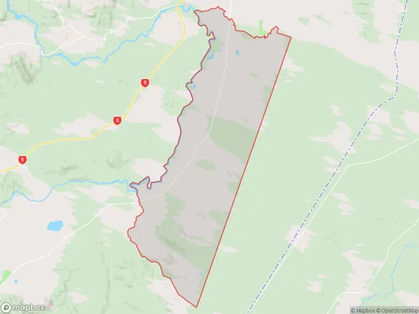
138.7 square kilometersBroadlands Population (estimated)
824 people live in Broadlands, Waikato, NZBroadlands Suburb Area Map (Polygon)
Broadlands Introduction
Broadlands is a small rural town in Waikato, New Zealand. It is located on State Highway 1, 20 km south of Hamilton, and 10 km north of Morrinsville. The town has a population of around 500 people and is known for its scenic rural setting and historic buildings. The area was first settled in the 1860s by European settlers, and the town was established in the 1870s. Broadlands is surrounded by farmland and has a number of historic buildings, including the Broadlands Hotel, which was built in 1878. The town also has a community hall, a library, and a sports field.Region
Major City
Suburb Name
BroadlandsOther Name(s)
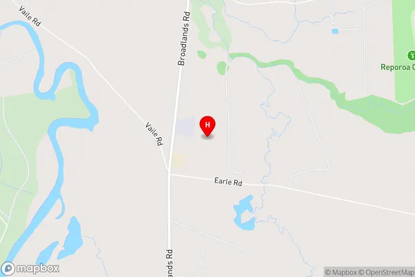
Broadlands ForestBroadlands Area Map (Street)
Local Authority
Rotorua District, Taupo DistrictFull Address
Broadlands, Rotorua District, Taupo District, New ZealandAddress Type
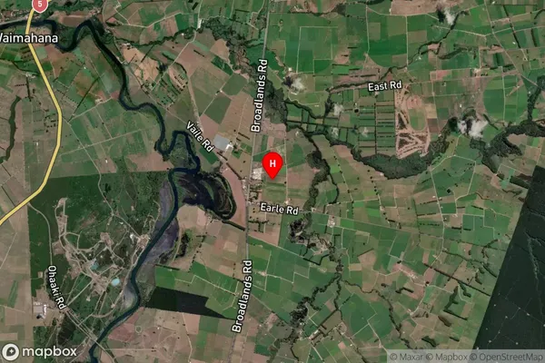
Locality in Major Locality BroadlandsBroadlands Suburb Map (Satellite)
Country
Main Region in AU
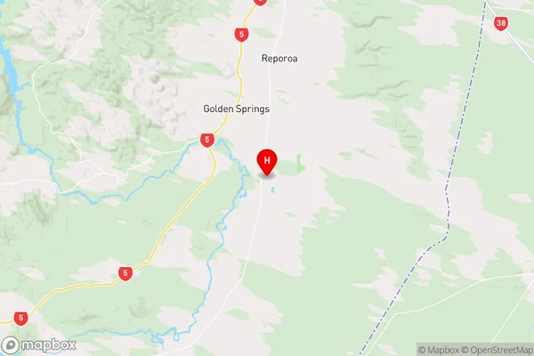
WaikatoBroadlands Region Map
Coordinates
-38.5087903,176.336875 (latitude/longitude)Distances
The distance from Broadlands, Broadlands, Rotorua District, Taupo District to NZ Top 10 Cities