Richmond Heights Area, Richmond Heights Postcode(3330) & Map in Richmond Heights
Richmond Heights Area, Richmond Heights Postcode(3330) & Map in Richmond Heights, Taupo District, New Zealand
Richmond Heights, Taupo District, New Zealand
Richmond Heights Postcodes
Richmond Heights Area (estimated)
2.4 square kilometersRichmond Heights Population (estimated)
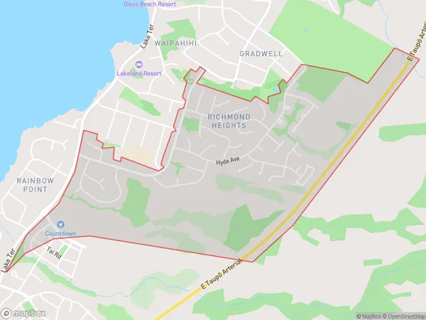
2500 people live in Richmond Heights, Waikato, NZRichmond Heights Suburb Area Map (Polygon)
Richmond Heights Introduction
Richmond Heights is a suburb of Taupo, Waikato, New Zealand. It is located on the banks of the Waikato River, 5 km south of the city center. The suburb has a population of around 2,000 people and is known for its peaceful atmosphere, scenic views, and well-maintained parks. It is also home to a variety of shops, restaurants, and recreational facilities, including a golf course and a swimming pool.Region
Major City
Suburb Name
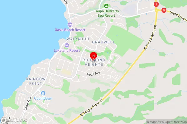
Richmond HeightsRichmond Heights Area Map (Street)
Local Authority
Taupo DistrictFull Address
Richmond Heights, Taupo District, New ZealandAddress Type
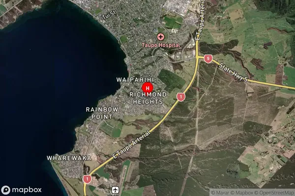
Suburb in Town TaupoRichmond Heights Suburb Map (Satellite)
Country
Main Region in AU
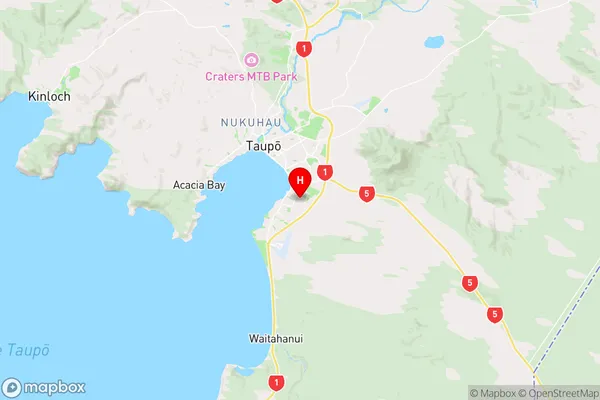
WaikatoRichmond Heights Region Map
Coordinates
-38.7156341,176.094599 (latitude/longitude)Distances
The distance from Richmond Heights, Taupo, Taupo District to NZ Top 10 Cities