Waitahanui Area, Waitahanui Postcode(3378) & Map in Waitahanui
Waitahanui Area, Waitahanui Postcode(3378) & Map in Waitahanui, Taupo District, New Zealand
Waitahanui, Taupo District, New Zealand
Waitahanui Postcodes
Waitahanui Area (estimated)
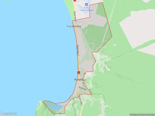
13.2 square kilometersWaitahanui Population (estimated)
590 people live in Waitahanui, Waikato, NZWaitahanui Suburb Area Map (Polygon)
Waitahanui Introduction
Waitahanui is a small rural community located in the Waikato region of New Zealand. It is situated on the banks of the Waitahanui River, approximately 30 kilometers south of Taupo. The area is known for its scenic beauty, with rolling hills, lush green forests, and a tranquil atmosphere. The community has a population of around 1,000 people and is home to a primary school, a post office, a convenience store, and a few small businesses. Waitahanui is a popular destination for outdoor enthusiasts, with numerous hiking and biking trails in the surrounding area. The river is also popular for fishing and kayaking, and there are several picnic spots and parks along its banks.Region
Major City
Suburb Name
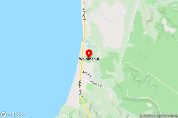
WaitahanuiWaitahanui Area Map (Street)
Local Authority
Taupo DistrictFull Address
Waitahanui, Taupo District, New ZealandAddress Type
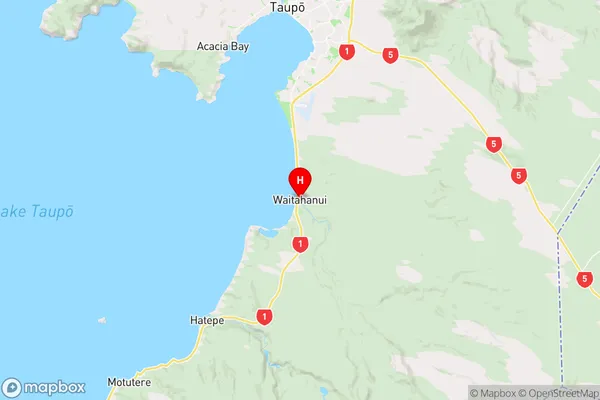
Locality in Town TaupoWaitahanui Suburb Map (Satellite)

Country
Main Region in AU
WaikatoWaitahanui Region Map
Coordinates
-38.7899101,176.0782286 (latitude/longitude)Distances
The distance from Waitahanui, Taupo, Taupo District to NZ Top 10 Cities