Wharewaka Suburbs & Region, Wharewaka Map & Postcodes in Wharewaka, Taupo, Central North Island
Wharewaka Postcodes, Wharewaka ZipCodes, Wharewaka , Wharewaka Waikato, Wharewaka Suburbs, Wharewaka Region, Wharewaka Map, Wharewaka Area
Wharewaka Region
Wharewaka Suburbs
Wharewaka is a suburb place type in Taupo, Central North Island, NZ. It contains 0 suburbs or localities.Wharewaka Postcodes
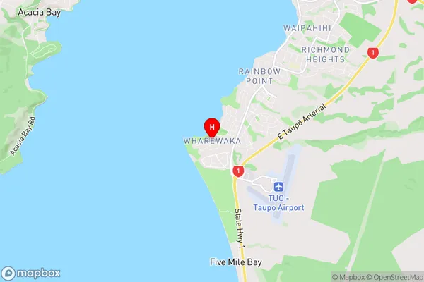
Wharewaka Region Map
Wharewaka Introduction
Wharewaka is a small rural community located in the Waikato region of New Zealand, approximately 45 minutes south of Hamilton. It is known for its stunning natural surroundings, including the Waikato River and the surrounding hills. The community has a population of around 1,000 people and is home to a variety of businesses, including a primary school, a convenience store, and a pub. Wharewaka is also a popular destination for outdoor enthusiasts, with numerous hiking and cycling trails nearby. The area has a rich history and was once home to a significant Māori tribe. The name "Wharewaka" means "the place of the canoe" in Māori, reflecting the area's importance as a stopping point for canoeists traveling along the Waikato River.Wharewaka Region
Wharewaka City
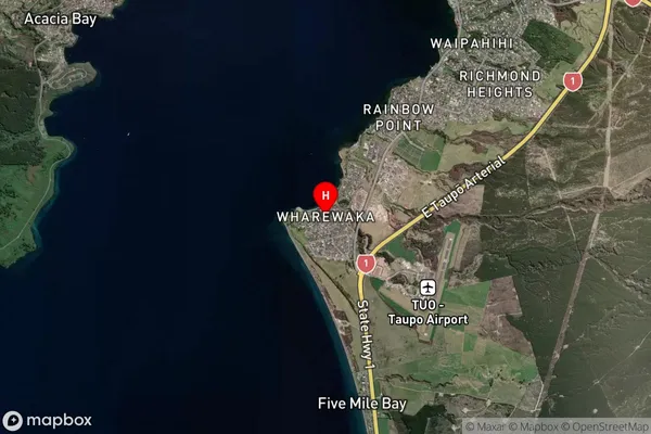
Wharewaka Satellite Map
Full Address
Wharewaka, Taupo, Central North IslandWharewaka Coordinates
-38.732075,176.067151 (Latitude / Longitude)Wharewaka Map in NZ
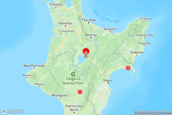
NZ Island
North IslandCountry
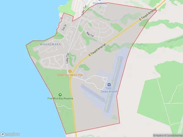
Wharewaka Area Map (Polygon)
Name
WharewakaAdditional Name
Local Authority
Taupo District
Wharewaka Suburbs (Sort by Population)
Wharewaka suburb has around
6.6 square
kilometers.There are more than 1376 people (estimated)
live in Wharewaka, Taupo, Waikato, New Zealand.