Stratford Suburbs & Region, Stratford Map & Postcodes in Stratford, Taranaki
Stratford Postcodes, Stratford ZipCodes, Stratford , Stratford Taranaki, Stratford Suburbs, Stratford Region, Stratford Map, Stratford Area
Stratford Region (Wharehuia Region)
Stratford Suburbs
Stratford is a city place type in Taranaki, NZ. It contains 28 suburbs or localities.Stratford Postcodes
Stratford Region Map
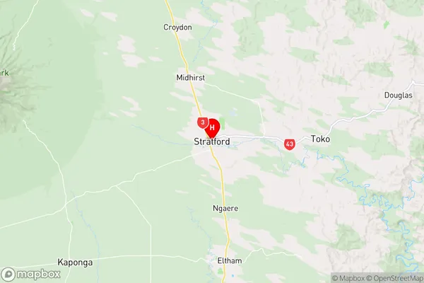
Stratford Introduction
Stratford is a small town located in the Taranaki region of New Zealand. It is known for its historic buildings, including the Stratford Courthouse, which is one of the oldest courthouses in New Zealand. The town also has a variety of recreational facilities, including a golf course, a swimming pool, and a sports stadium. Stratford is located on the banks of the Taranaki River, and is surrounded by stunning natural scenery, including the Taranaki Mountains and the Pouakai Range. The town has a population of around 10,000 people and is a popular destination for tourists and locals alike.Stratford Region
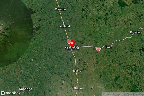
Stratford Satellite Map
Full Address
Stratford, TaranakiStratford Coordinates
-39.33885,174.287594 (Latitude / Longitude)Stratford Map in NZ
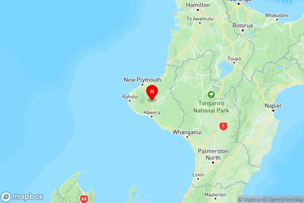
NZ Island
North IslandCountry
Stratford Area Map (Polygon)
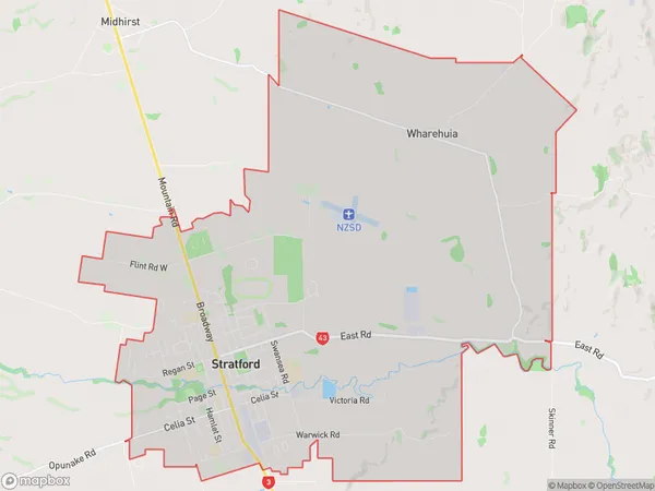
Name
StratfordAdditional Name
WharehuiaLocal Authority
Stratford District
Stratford Suburbs (Sort by Population)
Stratford
Stratford - 6511Midhirst
Midhirst - 767Cardiff
Cardiff - 424Pembroke
Pembroke - 420Tariki
Tariki - 365Ngaere
Ngaere - 306Toko
Toko - 273Mahoe
Mahoe - 230Te Popo
Te Popo - 149Pukengahu
Pukengahu - 148Huiroa
Huiroa - 127Bird Road
Bird Road - 118Huinga
Huinga - 117Douglas
Douglas - 114Mangatoki
Mangatoki - 100Kohuratahi
Kohuratahi - 59Tututawa
Tututawa - 50Matau
Matau - 47Te Wera
Te Wera - 42Tahora
Tahora - 42Whangamomona
Whangamomona - 38Strathmore
Strathmore - 37Puniwhakau
Puniwhakau - 37Makahu
Makahu - 35Pohokura
Pohokura - 20Tangarakau
Tangarakau - 17Kiore
Kiore - 14Aotuhia
Aotuhia - 5
Stratford Suburbs (Sort in alphabetical)
Douglas
Huinga
Matau
Midhirst
Pohokura and Surrounds
Puniwhakau
Stratford
Stratford Surrounds
Tahora