Huiroa Area, Huiroa Postcode(4332) & Map in Huiroa
Huiroa Area, Huiroa Postcode(4332) & Map in Huiroa, Stratford District, New Zealand
Huiroa, Stratford District, New Zealand
Huiroa Postcodes
Huiroa Area (estimated)
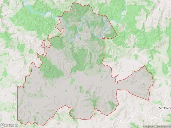
108.8 square kilometersHuiroa Population (estimated)
127 people live in Huiroa, Taranaki, NZHuiroa Suburb Area Map (Polygon)
Huiroa Introduction
Huiroa is a small rural community located in Stratford, Taranaki, New Zealand. It is known for its beautiful rural scenery, friendly locals, and strong community spirit. The area is surrounded by farmland and has a peaceful atmosphere, making it a popular destination for those seeking a break from the hustle and bustle of city life. Huiroa also has a local primary school, a post office, and a convenience store, providing essential services to the community.Region
Major City
Suburb Name
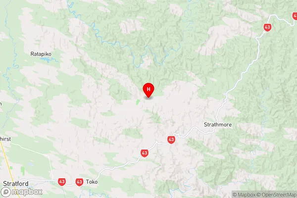
HuiroaHuiroa Area Map (Street)

Local Authority
Stratford DistrictFull Address
Huiroa, Stratford District, New ZealandAddress Type
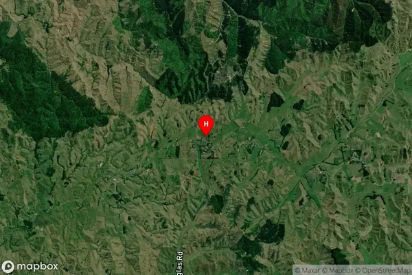
Locality in Town StratfordHuiroa Suburb Map (Satellite)
Country
Main Region in AU
TaranakiHuiroa Region Map
Coordinates
-39.2480086,174.4716415 (latitude/longitude)Distances
The distance from Huiroa, Stratford, Stratford District to NZ Top 10 Cities