Stratford Suburbs & Region, Stratford Map & Postcodes in Stratford, Manawatu-Wanganui
Stratford Postcodes, Stratford ZipCodes, Stratford , Stratford Manawatu-Wanganui, Stratford Suburbs, Stratford Region, Stratford Map, Stratford Area
Stratford Region (Wharehuia Region)
Stratford Suburbs
Stratford is a city place type in Manawatu-Wanganui, NZ. It contains 28 suburbs or localities.Stratford Postcodes
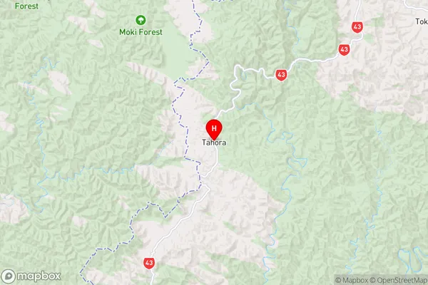
Stratford Region Map
Stratford Introduction
Stratford is a town in the Manawatu-Wanganui region of New Zealand. It is situated on the banks of the Manawatu River, approximately 100 km north-west of Palmerston North. The town has a population of around 7,000 people and is known for its historic architecture, including the Stratford District Library and the Stratford Town Hall. Stratford also has a number of popular attractions, including the Stratford Racecourse, the Stratford Museum, and the Taranaki Farm Park. The town is surrounded by beautiful countryside and is a popular destination for outdoor activities such as hiking, cycling, and fishing.Stratford Region
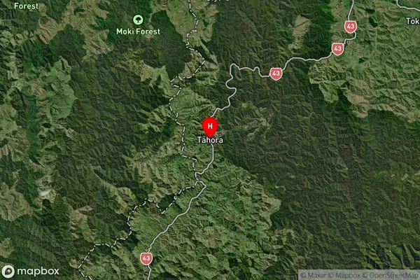
Stratford Satellite Map
Full Address
Stratford, Manawatu-WanganuiStratford Coordinates
-39.032,174.80436 (Latitude / Longitude)Stratford Map in NZ
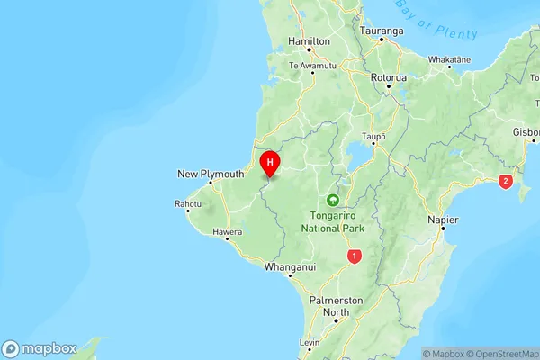
NZ Island
North IslandCountry
Stratford Area Map (Polygon)
Name
StratfordAdditional Name
WharehuiaLocal Authority
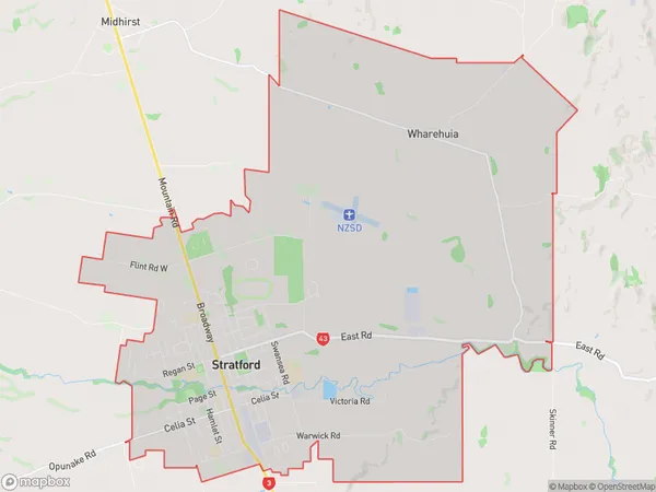
Stratford District
Stratford Suburbs (Sort by Population)
Stratford
Stratford - 6511Midhirst
Midhirst - 767Cardiff
Cardiff - 424Pembroke
Pembroke - 420Tariki
Tariki - 365Ngaere
Ngaere - 306Toko
Toko - 273Mahoe
Mahoe - 230Te Popo
Te Popo - 149Pukengahu
Pukengahu - 148Huiroa
Huiroa - 127Bird Road
Bird Road - 118Huinga
Huinga - 117Douglas
Douglas - 114Mangatoki
Mangatoki - 100Kohuratahi
Kohuratahi - 59Tututawa
Tututawa - 50Matau
Matau - 47Te Wera
Te Wera - 42Tahora
Tahora - 42Whangamomona
Whangamomona - 38Strathmore
Strathmore - 37Puniwhakau
Puniwhakau - 37Makahu
Makahu - 35Pohokura
Pohokura - 20Tangarakau
Tangarakau - 17Kiore
Kiore - 14Aotuhia
Aotuhia - 5