Aotuhia Area, Aotuhia Postcode & Map in Aotuhia, Stratford District
Aotuhia Area, Aotuhia Postcode & Map in Aotuhia, Stratford District, Whanganui District, New Zealand
Aotuhia, Stratford District, Whanganui District, New Zealand
Aotuhia Area (estimated)
187.7 square kilometersAotuhia Population (estimated)
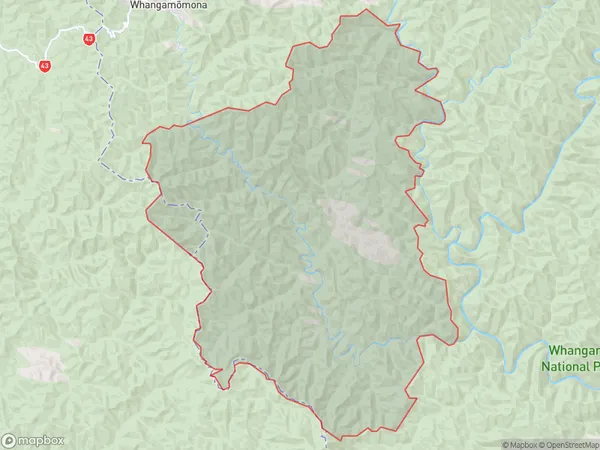
5 people live in Aotuhia, Manawatu-Wanganui, NZAotuhia Suburb Area Map (Polygon)
Aotuhia Introduction
Aotuhia is a small rural community located in Stratford, Manawatu-Wanganui, New Zealand. It is known for its beautiful natural surroundings, including the Aotuhia Forest Park and the Aotuhia Scenic Reserve. The community has a strong sense of community and hosts regular events and activities for its residents. It is also home to a variety of businesses and services, including a primary school, a post office, and a convenience store.Region
Major City
Suburb Name
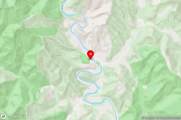
AotuhiaAotuhia Area Map (Street)
Local Authority
Stratford District, Whanganui DistrictFull Address
Aotuhia, Stratford District, Whanganui District, New ZealandAddress Type
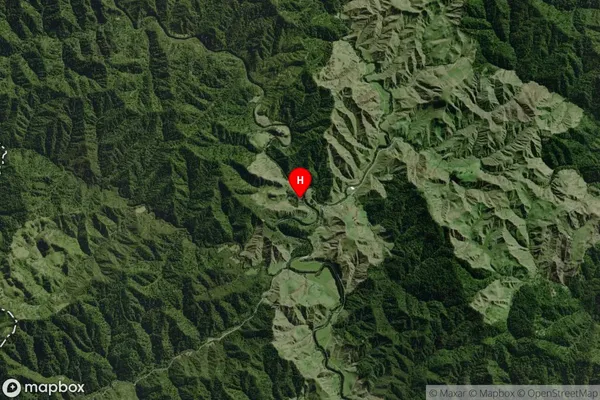
Locality in Town StratfordAotuhia Suburb Map (Satellite)
Country
Main Region in AU
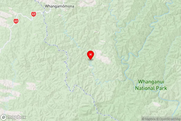
Manawatu-WanganuiAotuhia Region Map
Coordinates
-39.2402291,174.8061236 (latitude/longitude)Distances
The distance from Aotuhia, Stratford, Stratford District, Whanganui District to NZ Top 10 Cities