Te Wera Area, Te Wera Postcode(4395) & Map in Te Wera
Te Wera Area, Te Wera Postcode(4395) & Map in Te Wera, Stratford District, New Zealand
Te Wera, Stratford District, New Zealand
Te Wera Postcodes
Te Wera Area (estimated)
105.1 square kilometersTe Wera Population (estimated)
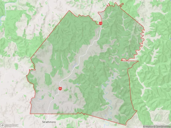
42 people live in Te Wera, Taranaki, NZTe Wera Suburb Area Map (Polygon)
Te Wera Introduction
Te Wera is a historic Māori village located in Stratford, Taranaki, New Zealand. It was once a thriving community of around 1000 people, but today it is only a small settlement with a few remaining buildings. The village is significant for its Māori culture and history, and it is also home to a famous carving known as the "Stratford Totem Pole." The totem pole was carved by local Māori artists in the 19th century and is a symbol of the village's connection to its heritage.Region
Major City
Suburb Name
Te WeraOther Name(s)
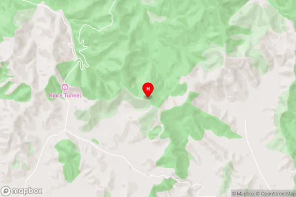
HuiakamaTe Wera Area Map (Street)
Local Authority
Stratford DistrictFull Address
Te Wera, Stratford District, New ZealandAddress Type
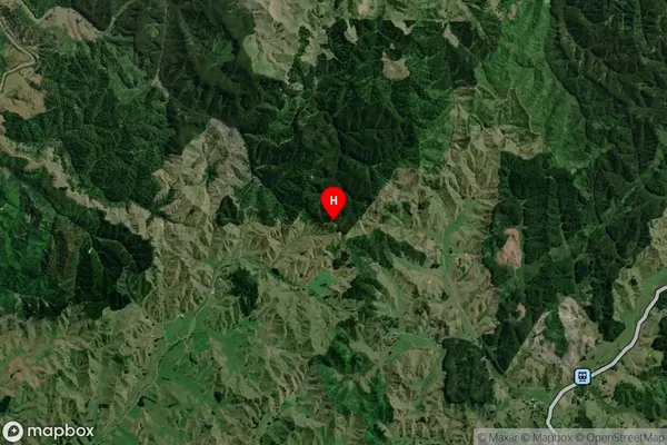
Locality in Town StratfordTe Wera Suburb Map (Satellite)
Country
Main Region in AU
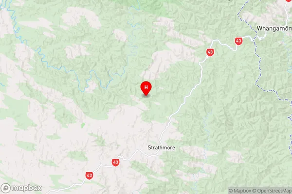
TaranakiTe Wera Region Map
Coordinates
-39.220028,174.546 (latitude/longitude)Distances
The distance from Te Wera, Stratford, Stratford District to NZ Top 10 Cities