Pembroke Area, Pembroke Postcode(4332) & Map in Pembroke
Pembroke Area, Pembroke Postcode(4332) & Map in Pembroke, Stratford District, New Zealand
Pembroke, Stratford District, New Zealand
Pembroke Postcodes
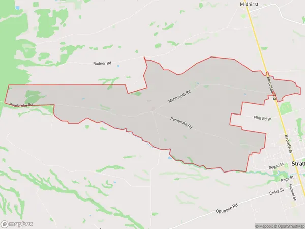
Pembroke Area (estimated)
21.2 square kilometersPembroke Population (estimated)
420 people live in Pembroke, Taranaki, NZPembroke Suburb Area Map (Polygon)
Pembroke Introduction
Pembroke is a small town in Stratford, Taranaki, New Zealand. It is located on the banks of the Manganui River and is known for its historic buildings and scenic surroundings. Pembroke was founded in 1865 and was named after the Duke of Pembroke. The town has a population of around 1,000 people and is a popular destination for tourists and outdoor enthusiasts.Region
Major City
Suburb Name
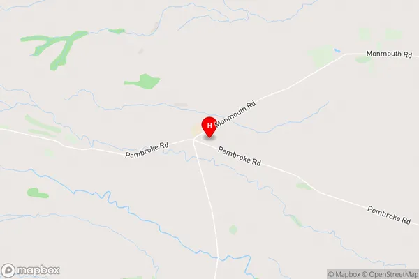
PembrokePembroke Area Map (Street)
Local Authority
Stratford DistrictFull Address
Pembroke, Stratford District, New ZealandAddress Type
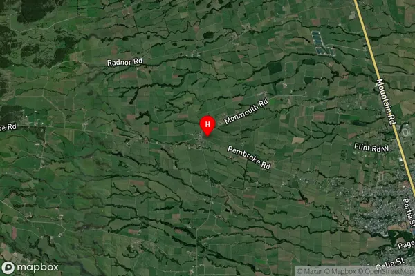
Locality in Town StratfordPembroke Suburb Map (Satellite)
Country
Main Region in AU
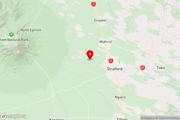
TaranakiPembroke Region Map
Coordinates
-39.323183,174.2310541 (latitude/longitude)Distances
The distance from Pembroke, Stratford, Stratford District to NZ Top 10 Cities