Pukengahu Area, Pukengahu Postcode(4332) & Map in Pukengahu
Pukengahu Area, Pukengahu Postcode(4332) & Map in Pukengahu, Stratford District, New Zealand
Pukengahu, Stratford District, New Zealand
Pukengahu Postcodes
Pukengahu Area (estimated)
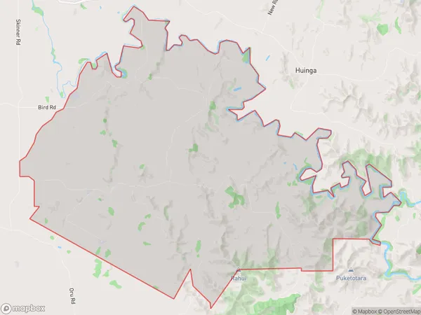
50.3 square kilometersPukengahu Population (estimated)
148 people live in Pukengahu, Taranaki, NZPukengahu Suburb Area Map (Polygon)
Pukengahu Introduction
Pukengahu is a small rural community located in Stratford, Taranaki, New Zealand. It is known for its stunning natural surroundings, including the Pukengahu Forest Park, which is a popular destination for hiking and nature walks. The community has a strong sense of community and hosts regular events and festivals, such as the Pukengahu Festival of Lights. Pukengahu is also home to a variety of businesses and services, including a supermarket, a pharmacy, and a post office.Region
Major City
Suburb Name
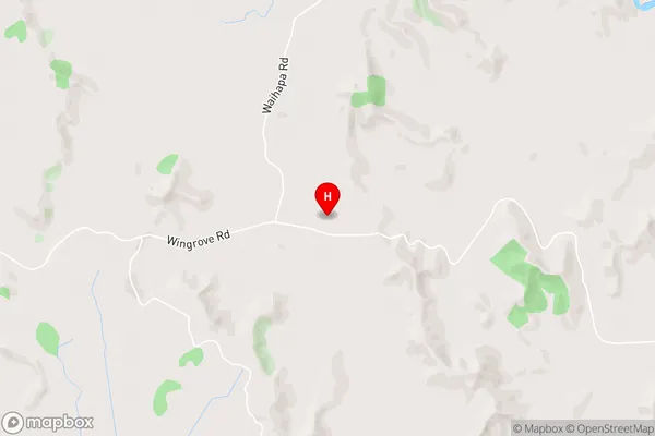
PukengahuPukengahu Area Map (Street)
Local Authority
Stratford DistrictFull Address
Pukengahu, Stratford District, New ZealandAddress Type
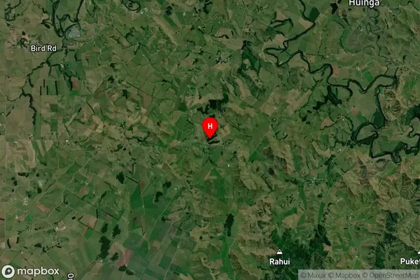
Locality in Town StratfordPukengahu Suburb Map (Satellite)
Country
Main Region in AU
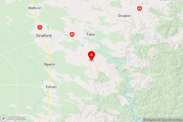
TaranakiPukengahu Region Map
Coordinates
-39.3830986,174.395256 (latitude/longitude)Distances
The distance from Pukengahu, Stratford, Stratford District to NZ Top 10 Cities