Midhirst Area, Midhirst Postcode(4332) & Map in Midhirst
Midhirst Area, Midhirst Postcode(4332) & Map in Midhirst, Stratford District, New Zealand
Midhirst, Stratford District, New Zealand
Midhirst Postcodes
Midhirst Area (estimated)
89.0 square kilometersMidhirst Population (estimated)
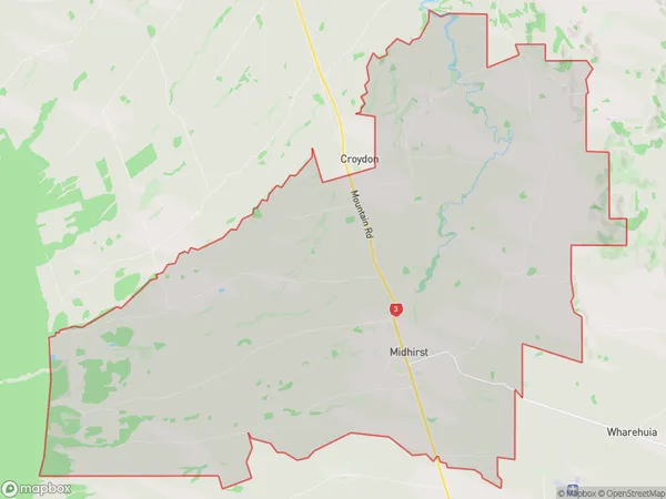
767 people live in Midhirst, Taranaki, NZMidhirst Suburb Area Map (Polygon)
Midhirst Introduction
Midhirst is a small rural community in Stratford, Taranaki, New Zealand. It is located on State Highway 1, approximately 30 minutes south of Stratford and 45 minutes north of New Plymouth. The area is known for its scenic rural landscapes, including rolling hills, farms, and forests. Midhirst has a primary school, a post office, and a small community hall. The population is around 100 people, with a mix of farming and rural families.Region
Major City
Suburb Name
MidhirstOther Name(s)
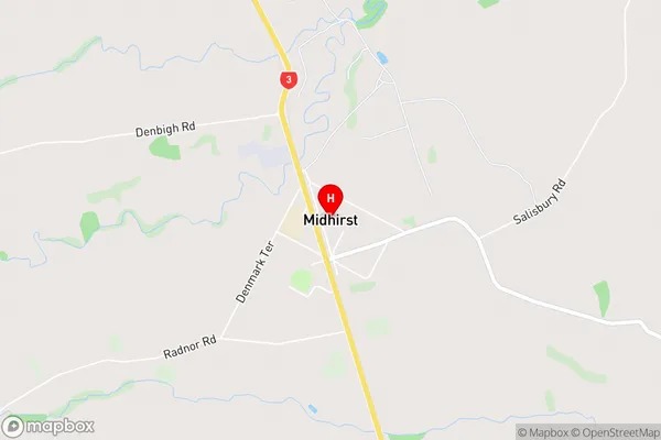
Croydon, Tuna, WaipukuMidhirst Area Map (Street)
Local Authority
Stratford DistrictFull Address
Midhirst, Stratford District, New ZealandAddress Type
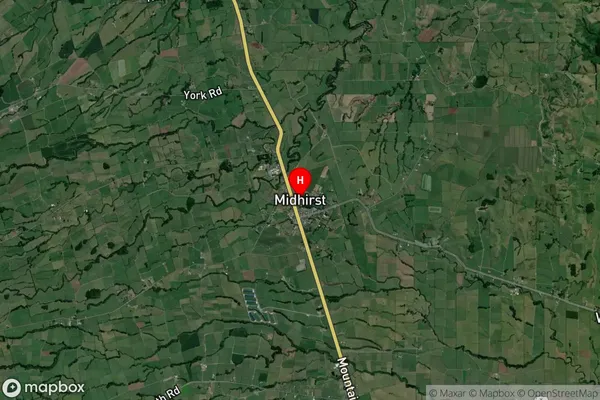
Locality in Town StratfordMidhirst Suburb Map (Satellite)
Country
Main Region in AU
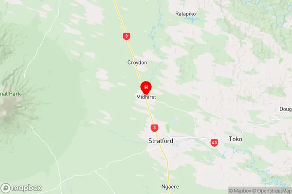
TaranakiMidhirst Region Map
Coordinates
-39.2908677,174.2666501 (latitude/longitude)Distances
The distance from Midhirst, Stratford, Stratford District to NZ Top 10 Cities