Mahoe Area, Mahoe Postcode(4399) & Map in Mahoe
Mahoe Area, Mahoe Postcode(4399) & Map in Mahoe, Stratford District, New Zealand
Mahoe, Stratford District, New Zealand
Mahoe Postcodes
Mahoe Area (estimated)
61.9 square kilometersMahoe Population (estimated)
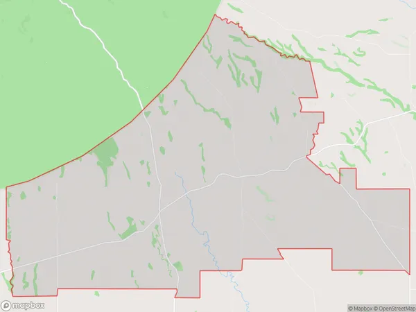
230 people live in Mahoe, Taranaki, NZMahoe Suburb Area Map (Polygon)
Mahoe Introduction
Mahoe is a small rural community in Stratford, Taranaki, New Zealand. It is known for its beautiful rural scenery, friendly locals, and traditional Maori culture. The area is popular with tourists and outdoor enthusiasts, who enjoy activities such as hiking, cycling, and fishing. The community also has a primary school, a post office, and a small supermarket.Region
Major City
Suburb Name
MahoeOther Name(s)
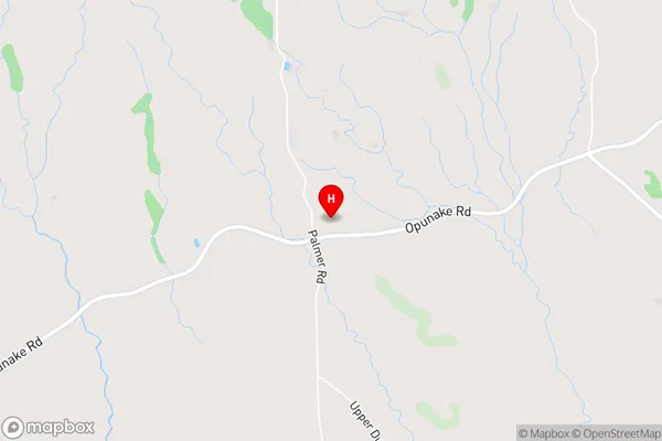
Lowgarth, Moeroa, RowanMahoe Area Map (Street)
Local Authority
Stratford DistrictFull Address
Mahoe, Stratford District, New ZealandAddress Type
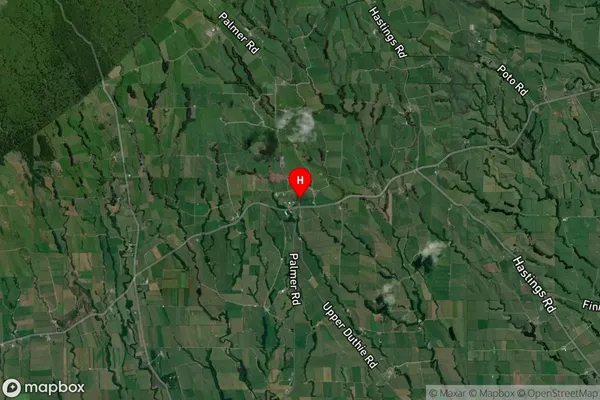
Locality in Town StratfordMahoe Suburb Map (Satellite)
Country
Main Region in AU
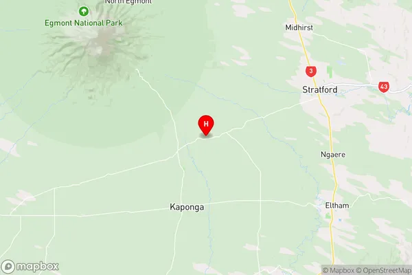
TaranakiMahoe Region Map
Coordinates
-39.3758229,174.1736511 (latitude/longitude)Distances
The distance from Mahoe, Stratford, Stratford District to NZ Top 10 Cities