Ngaere Area, Ngaere Postcode(4322) & Map in Ngaere
Ngaere Area, Ngaere Postcode(4322) & Map in Ngaere, Stratford District, New Zealand
Ngaere, Stratford District, New Zealand
Ngaere Postcodes
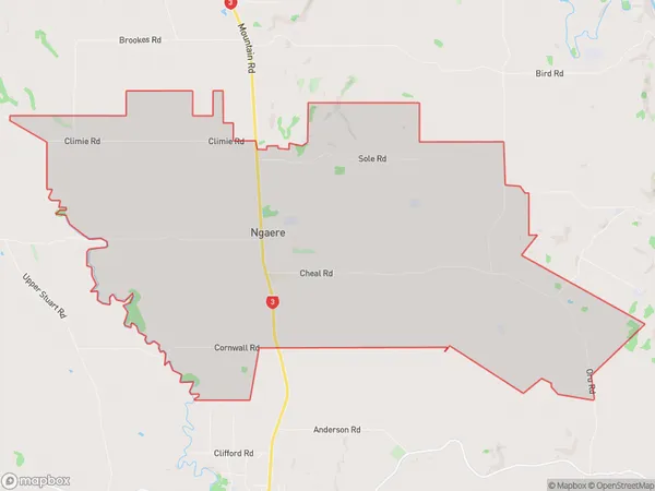
Ngaere Area (estimated)
36.8 square kilometersNgaere Population (estimated)
306 people live in Ngaere, Taranaki, NZNgaere Suburb Area Map (Polygon)
Ngaere Introduction
Ngaere is a small rural community located in Stratford, Taranaki, New Zealand. It is known for its beautiful rural scenery, friendly locals, and strong community spirit. The area is popular with outdoor enthusiasts, with many opportunities for hiking, cycling, and fishing. The village also has a primary school, a post office, and a small supermarket.Region
Major City
Suburb Name
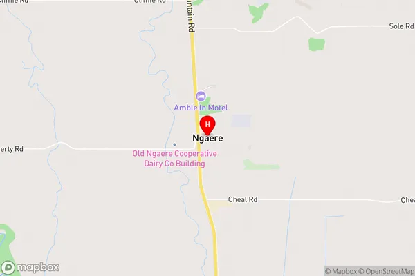
NgaereNgaere Area Map (Street)
Local Authority
Stratford DistrictFull Address
Ngaere, Stratford District, New ZealandAddress Type
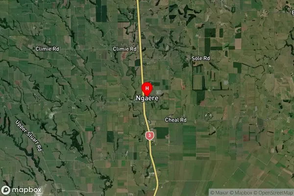
Locality in Town StratfordNgaere Suburb Map (Satellite)
Country
Main Region in AU
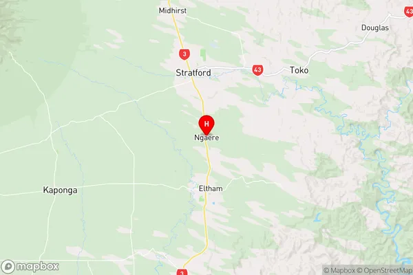
TaranakiNgaere Region Map
Coordinates
-39.3889009,174.3005717 (latitude/longitude)Distances
The distance from Ngaere, Stratford, Stratford District to NZ Top 10 Cities