Te Popo Area, Te Popo Postcode(4390) & Map in Te Popo
Te Popo Area, Te Popo Postcode(4390) & Map in Te Popo, Stratford District, New Zealand
Te Popo, Stratford District, New Zealand
Te Popo Postcodes
Te Popo Area (estimated)
64.9 square kilometersTe Popo Population (estimated)
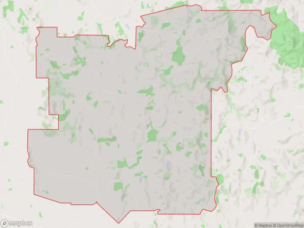
149 people live in Te Popo, Taranaki, NZTe Popo Suburb Area Map (Polygon)
Te Popo Introduction
Te Popo is a historic village located in Stratford, Taranaki, New Zealand. It is known for its well-preserved stone buildings, including the Te Popo Taiao o Stratford, which is considered one of the best-preserved examples of a pre-European Māori village in New Zealand. The village also has a rich cultural heritage, with traditional Māori practices and customs still being practiced today. Visitors can explore the village's historic buildings, walk through the gardens, and learn about the local history and culture from knowledgeable guides.Region
Major City
Suburb Name
Te PopoOther Name(s)
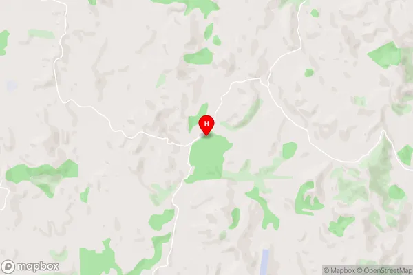
KupeTe Popo Area Map (Street)
Local Authority
Stratford DistrictFull Address
Te Popo, Stratford District, New ZealandAddress Type
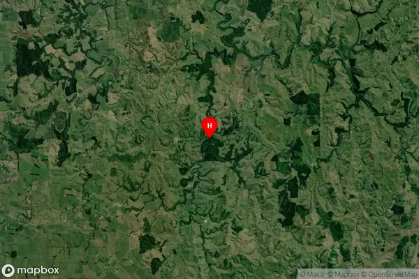
Locality in Town StratfordTe Popo Suburb Map (Satellite)
Country
Main Region in AU
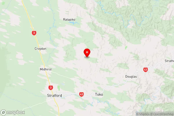
TaranakiTe Popo Region Map
Coordinates
-39.2701669,174.3644716 (latitude/longitude)Distances
The distance from Te Popo, Stratford, Stratford District to NZ Top 10 Cities