Tahora Area, Tahora Postcode(4396) & Map in Tahora
Tahora Area, Tahora Postcode(4396) & Map in Tahora, Stratford District, New Zealand
Tahora, Stratford District, New Zealand
Tahora Postcodes
Tahora Area (estimated)
126.7 square kilometersTahora Population (estimated)
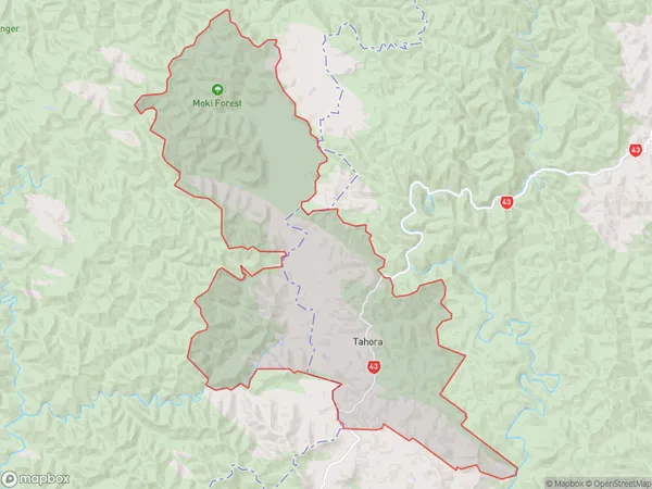
42 people live in Tahora, Manawatu-Wanganui, NZTahora Suburb Area Map (Polygon)
Tahora Introduction
Tahora is a small rural community located in the Stratford district of Manawatu-Wanganui, New Zealand. It is known for its beautiful natural surroundings, including the Tahora Forest and the Tahora River. The community has a strong sense of community and hosts a variety of events and activities throughout the year, including a farmers' market, a music festival, and a Christmas parade.Region
Major City
Suburb Name
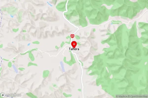
TahoraTahora Area Map (Street)
Local Authority
Stratford DistrictFull Address
Tahora, Stratford District, New ZealandAddress Type
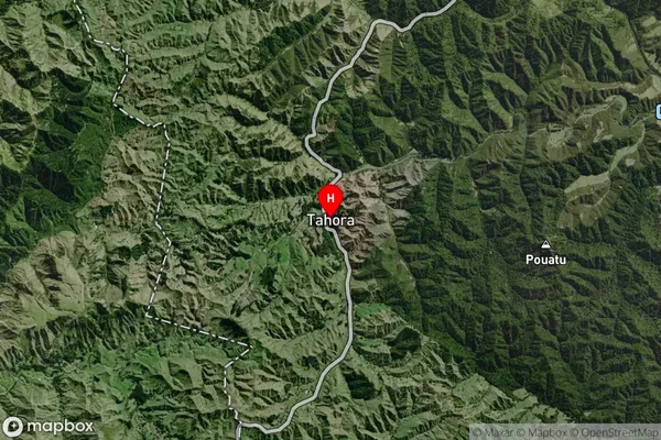
Locality in Town StratfordTahora Suburb Map (Satellite)
Country
Main Region in AU
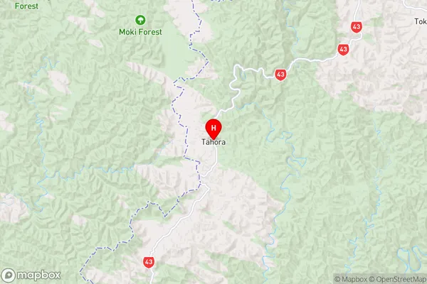
Manawatu-WanganuiTahora Region Map
Coordinates
-39.032,174.80436 (latitude/longitude)Distances
The distance from Tahora, Stratford, Stratford District to NZ Top 10 Cities