Toko Area, Toko Postcode(4332) & Map in Toko
Toko Area, Toko Postcode(4332) & Map in Toko, Stratford District, New Zealand
Toko, Stratford District, New Zealand
Toko Postcodes
Toko Area (estimated)
60.5 square kilometersToko Population (estimated)
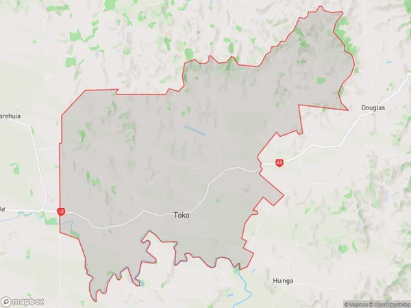
273 people live in Toko, Taranaki, NZToko Suburb Area Map (Polygon)
Toko Introduction
Taranaki's Stratford District is home to the Toko Village. It is well-known for its rich cultural history and stunning natural surroundings, including the Pouakai Falls and the Mt. Taranaki. The village has a population of around 500 people and is located on the banks of the Toko River. It is a popular tourist destination and is home to a number of historic buildings, including the Toko Museum and the Toko Marae.Region
Major City
Suburb Name
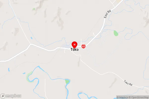
TokoToko Area Map (Street)
Local Authority
Stratford DistrictFull Address
Toko, Stratford District, New ZealandAddress Type
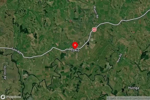
Locality in Town StratfordToko Suburb Map (Satellite)
Country
Main Region in AU
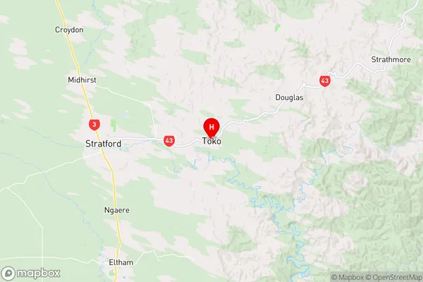
TaranakiToko Region Map
Coordinates
-39.3368792,174.3928366 (latitude/longitude)Distances
The distance from Toko, Stratford, Stratford District to NZ Top 10 Cities