Puniwhakau Area, Puniwhakau Postcode(4392) & Map in Puniwhakau
Puniwhakau Area, Puniwhakau Postcode(4392) & Map in Puniwhakau, Stratford District, New Zealand
Puniwhakau, Stratford District, New Zealand
Puniwhakau Postcodes
Puniwhakau Area (estimated)
143.2 square kilometersPuniwhakau Population (estimated)
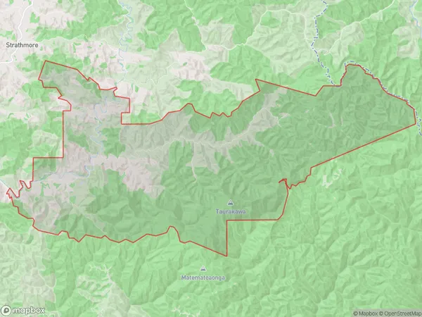
37 people live in Puniwhakau, Taranaki, NZPuniwhakau Suburb Area Map (Polygon)
Puniwhakau Introduction
Puniwhakau is a small rural community located in Stratford, Taranaki, New Zealand. It is known for its stunning natural surroundings, including the Puniwhakau River and the surrounding mountain ranges. The community has a strong sense of community and is home to a variety of cultural and recreational activities. It is also home to a number of historic buildings, including the Puniwhakau Marae, which is a significant cultural and spiritual site for the local Māori people.Region
Major City
Suburb Name
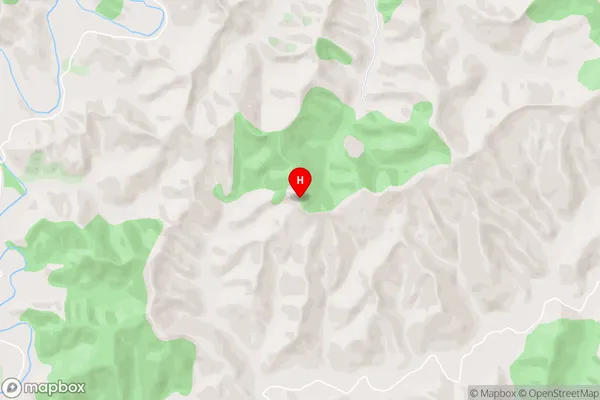
PuniwhakauPuniwhakau Area Map (Street)
Local Authority
Stratford DistrictFull Address
Puniwhakau, Stratford District, New ZealandAddress Type
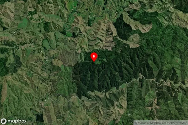
Locality in Town StratfordPuniwhakau Suburb Map (Satellite)
Country
Main Region in AU
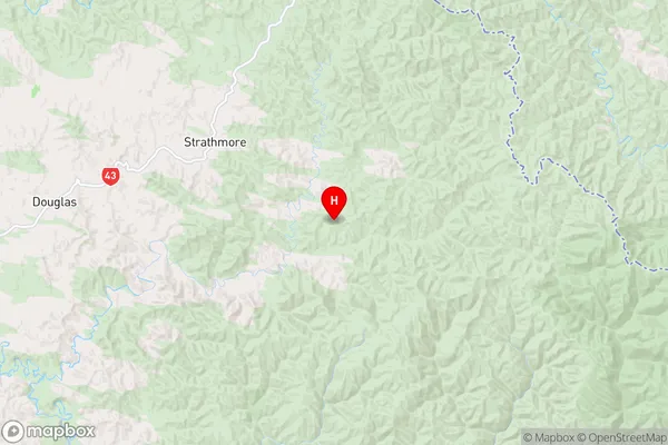
TaranakiPuniwhakau Region Map
Coordinates
-39.3138737,174.6410767 (latitude/longitude)Distances
The distance from Puniwhakau, Stratford, Stratford District to NZ Top 10 Cities