Stratford Area, Stratford Postcode(4332) & Map in Stratford
Stratford Area, Stratford Postcode(4332) & Map in Stratford, Stratford District, New Zealand
Stratford, Stratford District, New Zealand
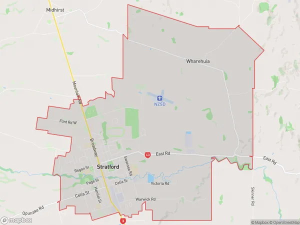
Stratford Area (estimated)
43.1 square kilometersStratford Population (estimated)
6511 people live in Stratford, Taranaki, NZStratford Suburb Area Map (Polygon)
Stratford Introduction
Stratford is a small town in Taranaki, New Zealand. It is well-known for its historic Stratford Village, which is a popular tourist destination. The town also has a variety of outdoor activities, including hiking, mountain biking, and fishing. Stratford is located on the banks of the Manganui River, and is surrounded by stunning natural scenery.Region
Major City
Suburb Name
StratfordOther Name(s)
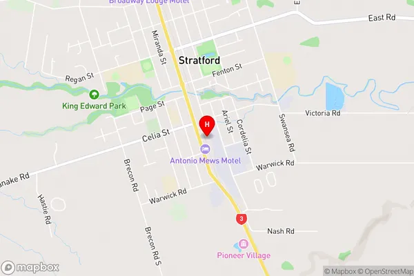
WharehuiaStratford Area Map (Street)
Local Authority
Stratford DistrictFull Address
Stratford, Stratford District, New ZealandAddress Type
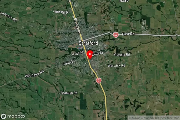
Suburb in Town StratfordStratford Suburb Map (Satellite)
Country
Main Region in AU
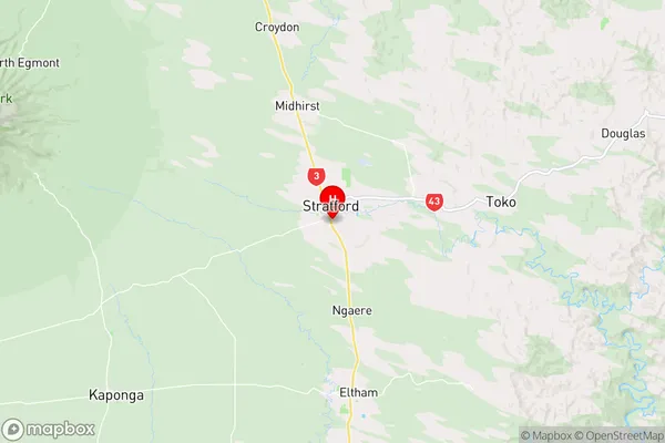
TaranakiStratford Region Map
Coordinates
-39.3463195,174.288531 (latitude/longitude)Distances
The distance from Stratford, Stratford, Stratford District to NZ Top 10 Cities