Kiore Area, Kiore Postcode(4395) & Map in Kiore
Kiore Area, Kiore Postcode(4395) & Map in Kiore, Stratford District, New Zealand
Kiore, Stratford District, New Zealand
Kiore Postcodes
Kiore Area (estimated)
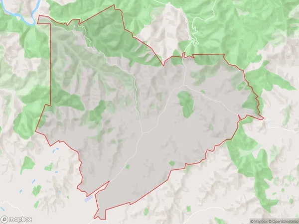
17.5 square kilometersKiore Population (estimated)
14 people live in Kiore, Taranaki, NZKiore Suburb Area Map (Polygon)
Kiore Introduction
Kiore is a small rural town in Stratford, Taranaki, New Zealand. It is known for its scenic surroundings, including the Kiore Forest and the Kiore River. The town has a population of around 500 people and is located about 35 minutes from Stratford. It is a popular destination for outdoor activities such as hiking, fishing, and hunting.Region
Major City
Suburb Name
KioreOther Name(s)
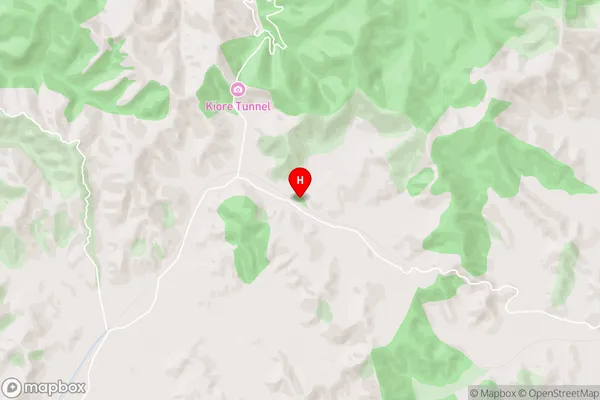
KioriKiore Area Map (Street)
Local Authority
Stratford DistrictFull Address
Kiore, Stratford District, New ZealandAddress Type
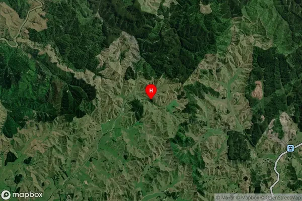
Locality in Town StratfordKiore Suburb Map (Satellite)
Country
Main Region in AU
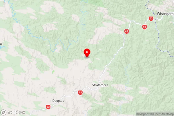
TaranakiKiore Region Map
Coordinates
-39.225837,174.5368767 (latitude/longitude)Distances
The distance from Kiore, Stratford, Stratford District to NZ Top 10 Cities