Huinga Area, Huinga Postcode(4393) & Map in Huinga
Huinga Area, Huinga Postcode(4393) & Map in Huinga, Stratford District, New Zealand
Huinga, Stratford District, New Zealand
Huinga Postcodes
Huinga Area (estimated)
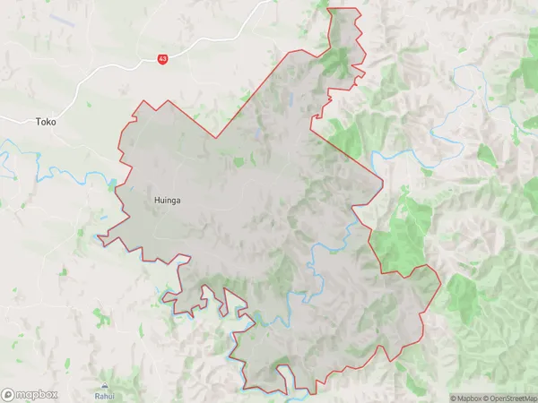
61.0 square kilometersHuinga Population (estimated)
117 people live in Huinga, Taranaki, NZHuinga Suburb Area Map (Polygon)
Huinga Introduction
Huinga is a small rural community located in Stratford, Taranaki, New Zealand. It is known for its beautiful countryside, historic buildings, and friendly locals. The area is popular with tourists and outdoor enthusiasts, who enjoy activities such as hiking, cycling, and fishing. Huinga also has a strong community spirit, with a variety of clubs and organizations for people of all ages.Region
Major City
Suburb Name
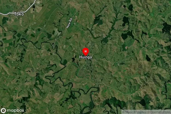
HuingaHuinga Area Map (Street)

Local Authority
Stratford DistrictFull Address
Huinga, Stratford District, New ZealandAddress Type
Locality in Town StratfordHuinga Suburb Map (Satellite)
Country
Main Region in AU
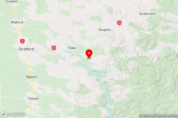
TaranakiHuinga Region Map
Coordinates
-39.3569314,174.4330215 (latitude/longitude)Distances
The distance from Huinga, Stratford, Stratford District to NZ Top 10 Cities