Strathmore Area, Strathmore Postcode(4395) & Map in Strathmore
Strathmore Area, Strathmore Postcode(4395) & Map in Strathmore, Stratford District, New Zealand
Strathmore, Stratford District, New Zealand
Strathmore Postcodes
Strathmore Area (estimated)
36.4 square kilometersStrathmore Population (estimated)
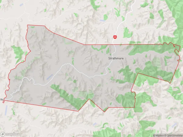
37 people live in Strathmore, Taranaki, NZStrathmore Suburb Area Map (Polygon)
Strathmore Introduction
Strathmore is a small rural town in Taranaki, New Zealand. It is located on the banks of the Mangatangi River and is known for its beautiful gardens and historic buildings. The town has a population of around 1,000 people and is a popular destination for tourists and locals alike.Region
Major City
Suburb Name
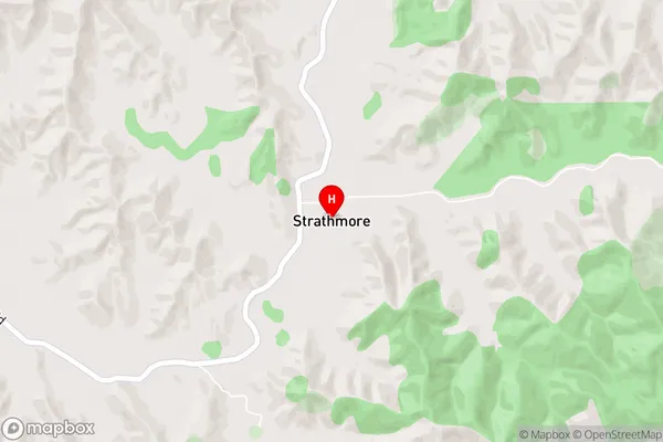
StrathmoreStrathmore Area Map (Street)
Local Authority
Stratford DistrictFull Address
Strathmore, Stratford District, New ZealandAddress Type
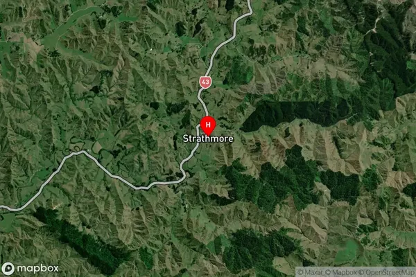
Locality in Town StratfordStrathmore Suburb Map (Satellite)
Country
Main Region in AU
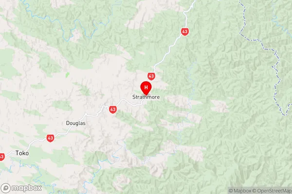
TaranakiStrathmore Region Map
Coordinates
-39.2754766,174.5677761 (latitude/longitude)Distances
The distance from Strathmore, Stratford, Stratford District to NZ Top 10 Cities