Matau Suburbs & Region, Matau Map & Postcodes in Matau, Stratford, Taranaki
Matau Postcodes, Matau ZipCodes, Matau , Matau Taranaki, Matau Suburbs, Matau Region, Matau Map, Matau Area
Matau Region
Matau Suburbs
Matau is a suburb place type in Stratford, Taranaki, NZ. It contains 0 suburbs or localities.Matau Postcodes
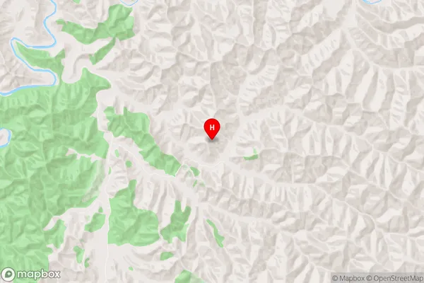
Matau Region Map
Matau Introduction
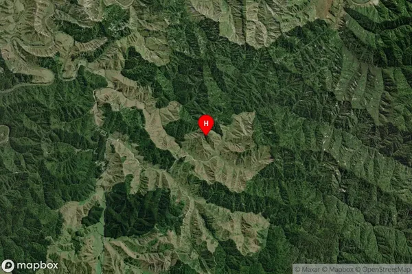
Matau is a small rural community located in Taranaki, New Zealand. It is situated on the banks of the Matau River and is known for its stunning natural scenery, including rolling hills, lush green forests, and picturesque farmland. The community has a population of around 1,000 people and is home to a variety of businesses, including a dairy farm, a convenience store, and a primary school. Matau is also a popular destination for outdoor enthusiasts, with numerous hiking and cycling trails nearby. The community is surrounded by stunning natural beauty, making it an ideal place to relax and unwind.Matau Region
Matau City
Matau Satellite Map
Full Address
Matau, Stratford, TaranakiMatau Coordinates
-39.111199,174.596049 (Latitude / Longitude)Matau Map in NZ
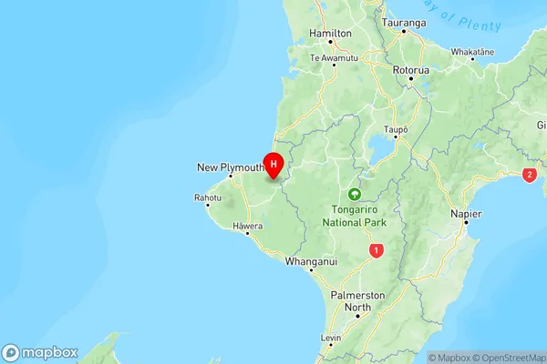
NZ Island
North IslandCountry
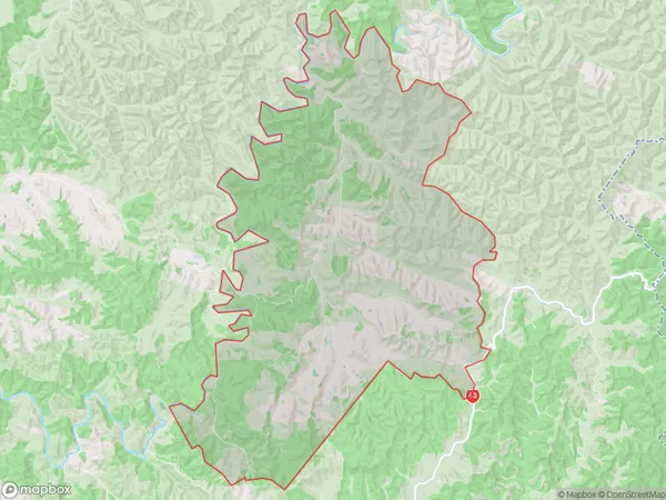
Matau Area Map (Polygon)
Name
MatauAdditional Name
Local Authority
Stratford District
Matau Suburbs (Sort by Population)
Matau suburb has around
124.9 square
kilometers.There are more than 47 people (estimated)
live in Matau, Stratford, Taranaki, New Zealand.