Tahora Suburbs & Region, Tahora Map & Postcodes in Tahora, Stratford, Taranaki
Tahora Postcodes, Tahora ZipCodes, Tahora , Tahora Taranaki, Tahora Suburbs, Tahora Region, Tahora Map, Tahora Area
Tahora Region
Tahora Suburbs
Tahora is a suburb place type in Stratford, Taranaki, NZ. It contains 0 suburbs or localities.Tahora Postcodes
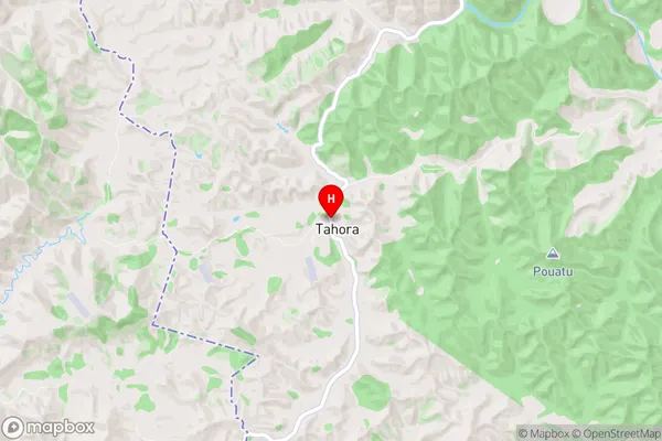
Tahora Region Map
Tahora Introduction
Tahora is a small rural community located in the Taranaki region of New Zealand. It is situated on the banks of the Taranaki River, approximately 30 kilometers south of New Plymouth. The area is known for its scenic beauty, with rolling hills, lush green farmland, and stunning views of the mountain ranges. Tahora has a population of around 500 people and is a popular destination for outdoor enthusiasts, with numerous hiking and cycling trails nearby. The community also has a primary school, a post office, a small supermarket, and a community hall.Tahora Region
Tahora City
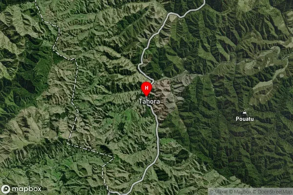
Tahora Satellite Map
Full Address
Tahora, Stratford, TaranakiTahora Coordinates
-39.0309569,174.8033965 (Latitude / Longitude)Tahora Map in NZ
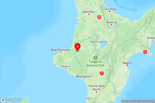
NZ Island
North IslandCountry
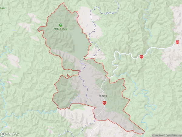
Tahora Area Map (Polygon)
Name
TahoraAdditional Name
Local Authority
Stratford District
Tahora Suburbs (Sort by Population)
Tahora suburb has around
126.7 square
kilometers.There are more than 42 people (estimated)
live in Tahora, Stratford, Manawatu-Wanganui, New Zealand.