Puniwhakau Suburbs & Region, Puniwhakau Map & Postcodes in Puniwhakau, Stratford, Taranaki
Puniwhakau Postcodes, Puniwhakau ZipCodes, Puniwhakau , Puniwhakau Taranaki, Puniwhakau Suburbs, Puniwhakau Region, Puniwhakau Map, Puniwhakau Area
Puniwhakau Region
Puniwhakau Suburbs
Puniwhakau is a suburb place type in Stratford, Taranaki, NZ. It contains 0 suburbs or localities.Puniwhakau Postcodes
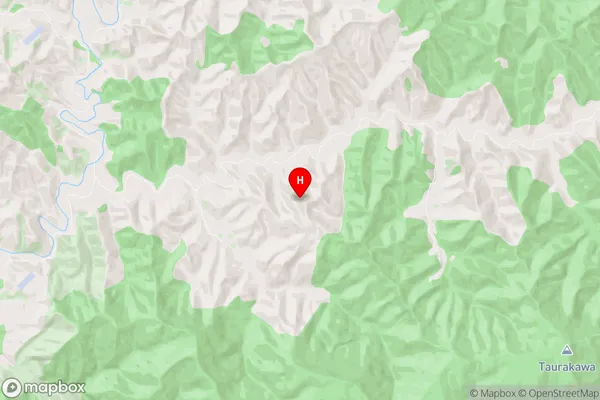
Puniwhakau Region Map
Puniwhakau Introduction
Puniwhakau is a small settlement located on the west coast of Taranaki, New Zealand. It is situated on the banks of the Puniwhakau River, approximately 15 kilometers south of New Plymouth. The area is known for its stunning natural beauty, including rugged coastline, lush forests, and crystal-clear rivers. The settlement has a population of around 100 people and is home to a small primary school and a community hall. The area is popular with outdoor enthusiasts, with many hiking and biking trails nearby. Puniwhakau is also a popular filming location, with several movies and TV shows having been shot in the area.Puniwhakau Region
Puniwhakau City
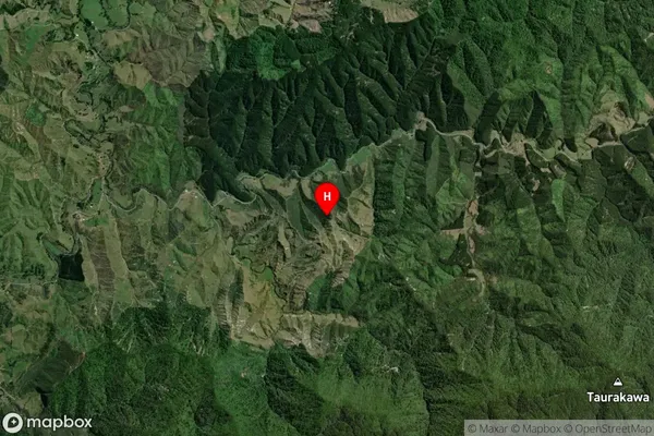
Puniwhakau Satellite Map
Full Address
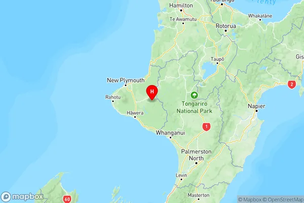
Puniwhakau, Stratford, TaranakiPuniwhakau Coordinates
-39.331359,174.651641 (Latitude / Longitude)Puniwhakau Map in NZ
NZ Island
North IslandCountry
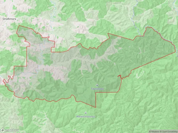
Puniwhakau Area Map (Polygon)
Name
PuniwhakauAdditional Name
Local Authority
Stratford District
Puniwhakau Suburbs (Sort by Population)
Puniwhakau suburb has around
143.2 square
kilometers.There are more than 37 people (estimated)
live in Puniwhakau, Stratford, Taranaki, New Zealand.