Douglas Suburbs & Region, Douglas Map & Postcodes in Douglas, Stratford, Taranaki
Douglas Postcodes, Douglas ZipCodes, Douglas , Douglas Taranaki, Douglas Suburbs, Douglas Region, Douglas Map, Douglas Area
Douglas Region
Douglas Suburbs
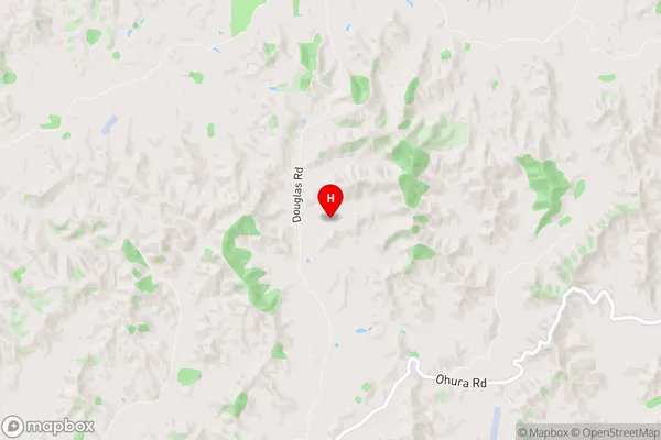
Douglas is a suburb place type in Stratford, Taranaki, NZ. It contains 0 suburbs or localities.Douglas Region Map
Douglas Introduction
Douglas is a small township located in Taranaki, New Zealand. It is situated on the banks of the Taranaki River and is approximately 30 minutes drive from New Plymouth. The township has a population of around 1,000 people and is known for its scenic surroundings, including the Taranaki Volcanoes and the surrounding farmland. Douglas has a primary school, a post office, a convenience store, and a few cafes and restaurants. The area is popular with outdoor enthusiasts, with many hiking and cycling trails nearby. The town also hosts the annual Douglas A&P Show, which is a major event in the region.Douglas Region
Douglas City
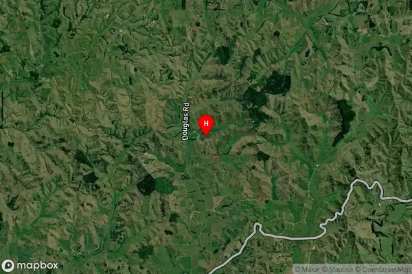
Douglas Satellite Map
Full Address
Douglas, Stratford, TaranakiDouglas Coordinates
-39.27674,174.470055 (Latitude / Longitude)Douglas Map in NZ
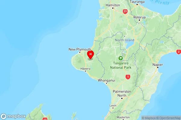
NZ Island
North IslandCountry
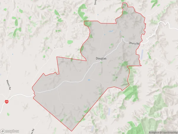
Douglas Area Map (Polygon)
Name
DouglasAdditional Name
Local Authority
Stratford District
Douglas Suburbs (Sort by Population)
Douglas suburb has around
25.7 square
kilometers.There are more than 114 people (estimated)
live in Douglas, Stratford, Taranaki, New Zealand.