Midhirst Suburbs & Region, Midhirst Map & Postcodes in Midhirst, Stratford, Taranaki
Midhirst Postcodes, Midhirst ZipCodes, Midhirst , Midhirst Taranaki, Midhirst Suburbs, Midhirst Region, Midhirst Map, Midhirst Area
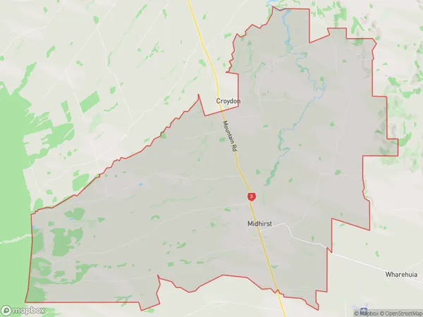
Midhirst Region (Croydon, Tuna, Waipuku Region)
Midhirst Suburbs
Midhirst is a suburb place type in Stratford, Taranaki, NZ. It contains 0 suburbs or localities.Midhirst Region Map
Midhirst Introduction
Midhirst is a small rural community located in the Taranaki region of New Zealand. It is situated on the banks of the Mangatangi River, approximately 30 kilometers south of New Plymouth. The area is known for its scenic countryside, with rolling hills, lush green fields, and picturesque farms. Midhirst has a population of around 200 people and is home to a variety of businesses, including a primary school, a post office, and a convenience store. The community is also home to a number of historic buildings, including the Midhirst Hotel, which was built in the 1880s. The Mangatangi River is a popular spot for fishing and swimming, and the area is also popular with hikers and nature enthusiasts.Midhirst Region
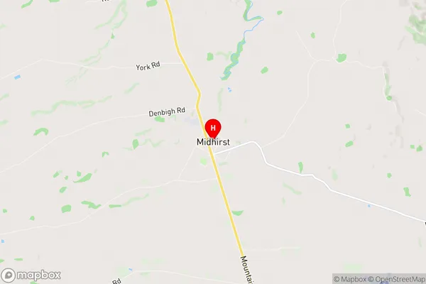
Midhirst City
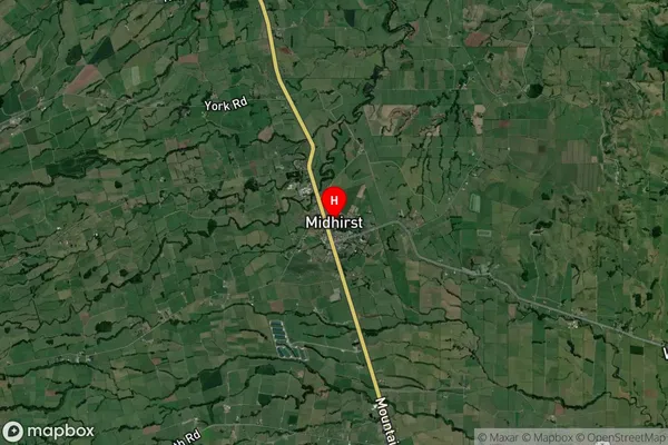
Midhirst Satellite Map
Full Address
Midhirst, Stratford, TaranakiMidhirst Coordinates
-39.290868,174.26665 (Latitude / Longitude)Midhirst Map in NZ
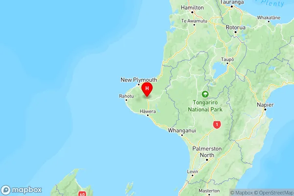
NZ Island
North IslandCountry
Midhirst Area Map (Polygon)
Name
MidhirstAdditional Name
Croydon, Tuna, WaipukuLocal Authority
Stratford District
Midhirst Suburbs (Sort by Population)
Midhirst also known as Croydon, Tuna, Waipuku. Midhirst suburb has around
89.0 square
kilometers.There are more than 767 people (estimated)
live in Midhirst, Stratford, Taranaki, New Zealand.