Upper Hutt Suburbs & Region, Upper Hutt Map & Postcodes in Upper Hutt, Upper Hutt City, Wellington
Upper Hutt Postcodes, Upper Hutt ZipCodes, Upper Hutt , Upper Hutt Wellington, Upper Hutt Suburbs, Upper Hutt Region, Upper Hutt Map, Upper Hutt Area
Upper Hutt Region
Upper Hutt Suburbs
Upper Hutt is a suburb place type in Upper Hutt City, Wellington, NZ. It contains 28 suburbs or localities.Upper Hutt Postcodes
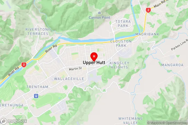
Upper Hutt Region Map
Upper Hutt Introduction
Upper Hutt is a city in the Wellington region of New Zealand, located on the banks of the Hutt River. It is known for its vibrant community, historic architecture, and proximity to natural attractions such as the Rimutaka Range and the Wellington Botanic Garden. Upper Hutt has a population of around 50,000 people and is home to a variety of businesses, including technology companies, manufacturing firms, and retail outlets. The city is also home to a number of cultural institutions, including the Upper Hutt City Library, the Michael Fowler Centre, and the Stout Theatre.Upper Hutt Region
Upper Hutt City
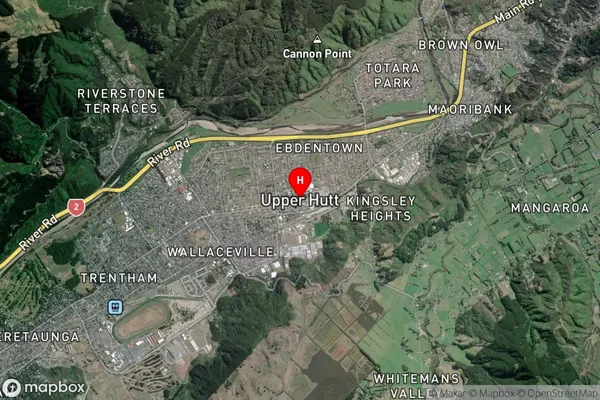
Upper Hutt Satellite Map
Full Address
Upper Hutt, Upper Hutt City, WellingtonUpper Hutt Coordinates
-41.124067,175.069959 (Latitude / Longitude)Upper Hutt Map in NZ
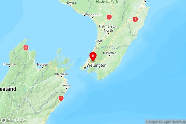
NZ Island
North IslandCountry
Upper Hutt Suburbs (Sort by Population)
Trentham
Trentham - 10719Silverstream
Silverstream - 4451Elderslea
Elderslea - 3070Wallaceville
Wallaceville - 3038Totara Park
Totara Park - 2972Ebdentown
Ebdentown - 2810Clouston Park
Clouston Park - 2505Birchville
Birchville - 2469Heretaunga
Heretaunga - 1949Riverstone Terraces
Riverstone Terraces - 1933Timberlea
Timberlea - 1856Pinehaven
Pinehaven - 1762Brown Owl
Brown Owl - 1577Maoribank
Maoribank - 1188Te Marua
Te Marua - 956Whitemans Valley
Whitemans Valley - 794Blue Mountains
Blue Mountains - 542Mangaroa
Mangaroa - 520Maymorn
Maymorn - 487Kingsley Heights
Kingsley Heights - 484Kaitoke
Kaitoke - 414Upper Hutt Central
Upper Hutt Central - 352Akatarawa
Akatarawa - 330Akatarawa Valley
Akatarawa Valley - 244Moonshine Valley
Moonshine Valley - 217Remutaka Hill
Remutaka Hill - 34Maidstone
Maidstone - 30Craigs Flat
Craigs Flat - 29