Wallaceville Area, Wallaceville Postcode(5018) & Map in Wallaceville
Wallaceville Area, Wallaceville Postcode(5018) & Map in Wallaceville, Upper Hutt City, New Zealand
Wallaceville, Upper Hutt City, New Zealand
Wallaceville Postcodes
Wallaceville Area (estimated)
2.8 square kilometersWallaceville Population (estimated)
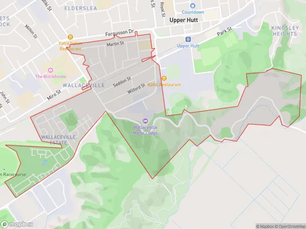
3038 people live in Wallaceville, Upper Hutt, NZWallaceville Suburb Area Map (Polygon)
Wallaceville Introduction
Wallaceville is a suburb of Upper Hutt, Wellington, New Zealand. It is located on the southern bank of the Hutt River and is known for its historic buildings and peaceful atmosphere. The area was originally developed as a farming community in the 1850s, and many of the original farmhouses and buildings still stand today. Wallaceville is a popular residential area with a variety of housing options, including apartments, townhouses, and single-family homes. It is also home to a number of parks and recreational facilities, including the Wallaceville Reserve and the Wallaceville Pool and Leisure Centre.Region
Major City
Suburb Name
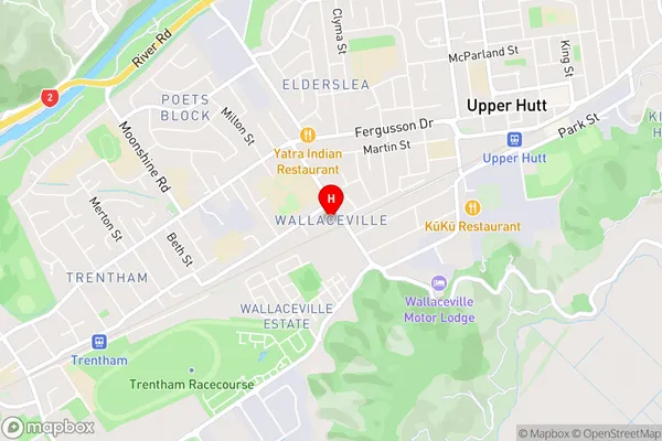
WallacevilleWallaceville Area Map (Street)
Local Authority
Upper Hutt CityFull Address
Wallaceville, Upper Hutt City, New ZealandAddress Type
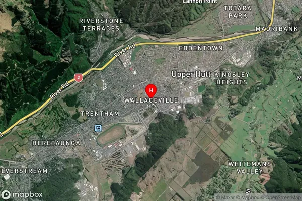
Suburb in City Upper HuttWallaceville Suburb Map (Satellite)
Country
Main Region in AU
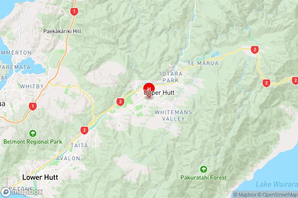
WellingtonWallaceville Region Map
Coordinates
-41.1308188,175.0562787 (latitude/longitude)Distances
The distance from Wallaceville, Upper Hutt, Upper Hutt City to NZ Top 10 Cities